Djibouti night lights from space
Night Light of Djibouti from space (Djibouti) Src. Average luminocity for 10x10km area is 69.803% and for 50x50km: 6.1475%.
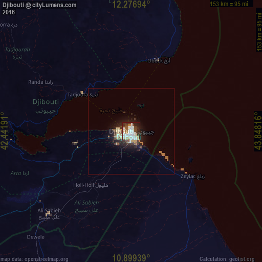
Analysis of Djibouti night lights 2016
Square area 10x10 km:
 22.94%
90-99
23.16%80-89
8.01%70-79
4.98%60-69
1.52%50-59
4.33%40-49
10.17%30-39
7.58%20-29
10.17%10-19
7.14%0-9
0%Square area 50x50 km:
1.07%90-99
1.18%80-89
0.92%70-79
0.55%60-69
0.41%50-59
0.78%40-49
0.78%30-39
1.03%20-29
1.6%10-19
4.1%0-9
87.59%Clear (daylight) street map image can be seen on geolist.org.
Map coordinates:
12° 16' 37" North, 42° 26' 30.9" East
11° 35' 20.4" North, 43° 8' 42.1" East
10° 53' 57.8" North, 43° 50' 53.4" East
Some cities around Djibouti sort by population:
• 'Ali Sabieh
67.4 km =41.9 mi,  224°
224°
• Tadjourah
36.2 km =22.5 mi,  307°
307°
• Assab, ER
163.9 km =101.8 mi,  344°
344°
• Asaita, ET
185.9 km =115.5 mi,  269°
269°
• Baki, SO
190.5 km =118.4 mi,  172°
172°
• Obock
44.8 km =27.8 mi,  20°
20°
• Dikhil
100.2 km =62.3 mi,  237°
237°
• Arta
32.7 km =20.3 mi,  257°
257°
223817 (p: 623,891)
Sources (retrieved 2019-11-25):
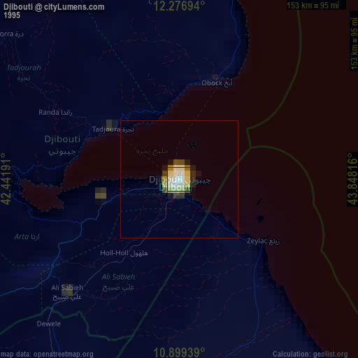
» NASA, Earths city lights 1995
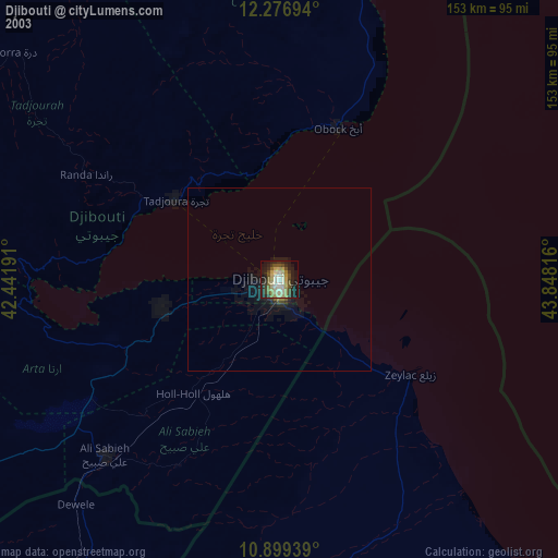
» NASA city lights 2003
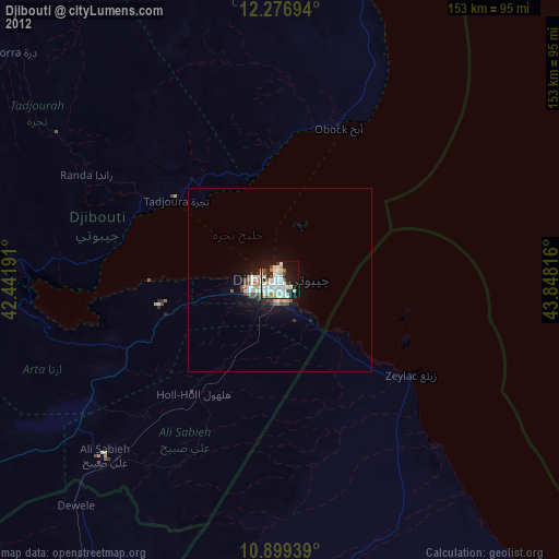
» Earth at Night: Flat Maps 2012, 2016