Kédougou night lights from space
Night Light of Kédougou from space (Senegal) Src. Average luminocity for 10x10km area is 1.6667% and for 50x50km: 0.066%.
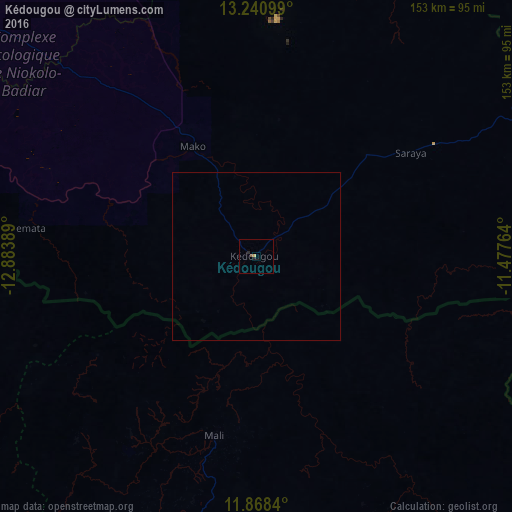
Analysis of Kédougou night lights 2016
Square area 10x10 km:
 0%
0%90-99
0%80-89
0%70-79
0.87%60-69
0%50-59
0.43%40-49
0.43%30-39
0%20-29
1.3%10-19
0.43%0-9
96.54%Square area 50x50 km:
0%90-99
0%80-89
0%70-79
0.03%60-69
0%50-59
0.02%40-49
0.02%30-39
0%20-29
0.05%10-19
0.02%0-9
99.86%Clear (daylight) street map image can be seen on geolist.org.
Map coordinates:
13° 14' 27.6" North, 12° 53' 2" West
12° 33' 20.2" North, 12° 10' 50.7" West
11° 52' 6.2" North, 11° 28' 39.5" West
Some cities around Kédougou sort by population:
• Labé, GN
138 km =85.7 mi,  184°
184°
• Tougué, GN
135.7 km =84.3 mi,  155°
155°
• Koundara, GN
121.8 km =75.7 mi,  266°
266°
• Diré, ML
135.3 km =84.1 mi,  102°
102°
• Koubia, GN
112.2 km =69.7 mi, 163°
• Youkounkoun, GN
102.2 km =63.5 mi, 268°
• Gaoual, GN
142.5 km =88.5 mi,  231°
231°
• Mali, GN
54.5 km =33.9 mi,  193°
193°
2250645 (p: 17,922)
Sources (retrieved 2019-11-25):
» Earth at Night: Flat Maps 2012, 2016