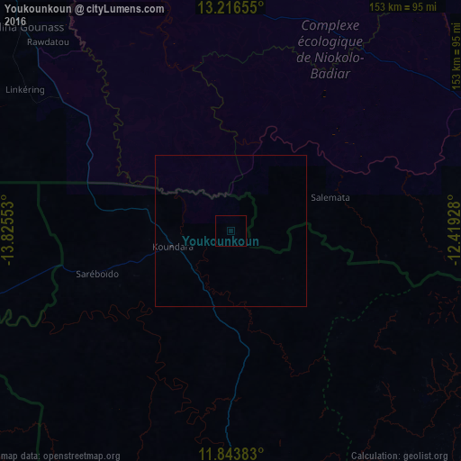
Youkounkoun night lights from space
Night Light of Youkounkoun (Boke) from space (Guinea) Src. Average luminocity for 10x10km area is 0% and for 50x50km: 0.0088%.
Analysis of Youkounkoun night lights 2016
Square area 10x10 km:
 0%
0%90-99
0%80-89
0%70-79
0%60-69
0%50-59
0%40-49
0%30-39
0%20-29
0%10-19
0%0-9
100%Square area 50x50 km:
0%90-99
0%80-89
0%70-79
0%60-69
0%50-59
0%40-49
0%30-39
0%20-29
0%10-19
0.03%0-9
99.97%Clear (daylight) street map image can be seen on geolist.org.
Map coordinates:
13° 12' 59.6" North, 13° 49' 31.9" West
12° 31' 52" North, 13° 7' 20.6" West
11° 50' 37.8" North, 12° 25' 9.4" West
Some cities around Youkounkoun sort by population:
• Vélingara, SN
127.9 km =79.5 mi,  302°
302°
• Kédougou, SN
102.2 km =63.5 mi,  88°
88°
• Gabú, GW
122.7 km =76.2 mi,  256°
256°
• Basse Santa Su, GM
146.6 km =91.1 mi,  306°
306°
• Koundara
20 km =12.4 mi,  254°
254°
• Sabi, GM
140.5 km =87.3 mi, 303°
• Gaoual
87.3 km =54.2 mi,  185°
185°
• Mali
102.7 km =63.8 mi,  119°
119°
2414055 (p: 7,952)
Sources (retrieved 2019-11-25):
» Earth at Night: Flat Maps 2012, 2016