Labé night lights from space
Night Light of Labé (Labe) from space (Guinea) Src. Average luminocity for 10x10km area is 7.9459% and for 50x50km: 0.3178%.
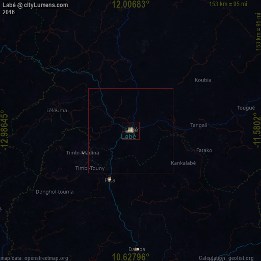
Analysis of Labé night lights 2016
Square area 10x10 km:
 0%
0%90-99
0%80-89
0.22%70-79
2.38%60-69
1.08%50-59
0.65%40-49
3.9%30-39
3.25%20-29
3.25%10-19
1.73%0-9
83.55%Square area 50x50 km:
0%90-99
0%80-89
0.01%70-79
0.09%60-69
0.04%50-59
0.03%40-49
0.15%30-39
0.13%20-29
0.13%10-19
0.07%0-9
99.35%Clear (daylight) street map image can be seen on geolist.org.
Map coordinates:
12° 0' 24.6" North, 12° 59' 11.2" West
11° 19' 5.6" North, 12° 16' 60" West
10° 37' 40.7" North, 11° 34' 48.7" West
Some cities around Labé sort by population:
• Mamou
106.9 km =66.4 mi,  168°
168°
• Télimélé
94.1 km =58.5 mi,  240°
240°
• Tougué
68.9 km =42.8 mi,  78°
78°
• Pita
31.3 km =19.4 mi,  202°
202°
• Koubia
51.8 km =32.2 mi,  54°
54°
• Gaoual
110.8 km =68.8 mi,  295°
295°
• Dalaba
69.7 km =43.3 mi,  176°
176°
• Mali
84.6 km =52.6 mi,  358°
358°
2418362 (p: 58,649)
Sources (retrieved 2019-11-25):
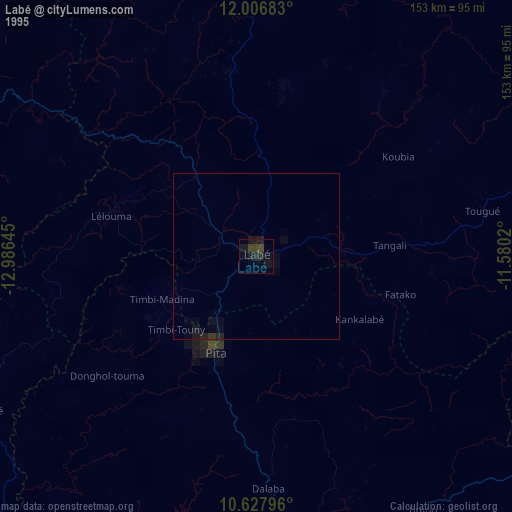
» NASA, Earths city lights 1995
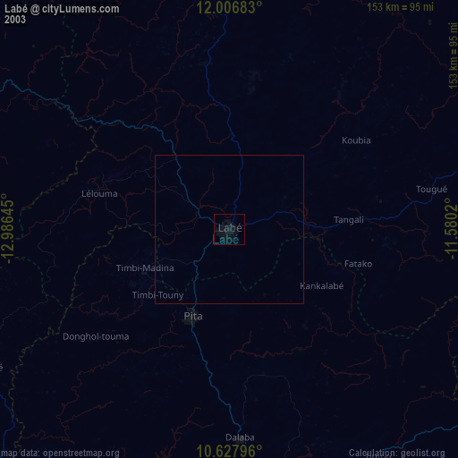
» NASA city lights 2003
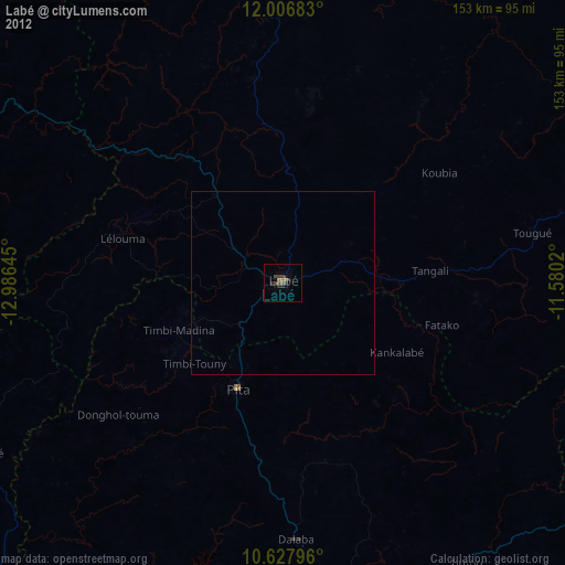
» Earth at Night: Flat Maps 2012, 2016