Koubia night lights from space
Night Light of Koubia (Labe) from space (Guinea) Src. Average luminocity for 10x10km area is 0% and for 50x50km: 0%.
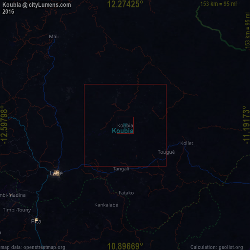
Analysis of Koubia night lights 2016
Square area 10x10 km:
100  0%
0%
90-99 0%
80-89 0%
70-79 0%
60-69 0%
50-59 0%
40-49 0%
30-39 0%
20-29 0%
10-19 0%
0-9 100%
0%90-99
0%80-89
0%70-79
0%60-69
0%50-59
0%40-49
0%30-39
0%20-29
0%10-19
0%0-9
100%Square area 50x50 km:
100 0%
90-99 0%
80-89 0%
70-79 0%
60-69 0%
50-59 0%
40-49 0%
30-39 0%
20-29 0%
10-19 0%
0-9 100%
0%90-99
0%80-89
0%70-79
0%60-69
0%50-59
0%40-49
0%30-39
0%20-29
0%10-19
0%0-9
100%Clear (daylight) street map image can be seen on geolist.org.
Map coordinates:
12° 16' 27.3" North, 12° 35' 52.7" West
11° 35' 10.8" North, 11° 53' 41.5" West
10° 53' 48.1" North, 11° 11' 30.2" West
Some cities around Koubia sort by population:
• Labé
51.8 km =32.2 mi,  234°
234°
• Tougué
29.6 km =18.4 mi,  122°
122°
• Pita
80.1 km =49.8 mi,  222°
222°
• Kédougou, SN
112.2 km =69.7 mi,  343°
343°
• Dabola
127.1 km =79 mi,  137°
137°
• Diré, ML
127.3 km =79.1 mi,  52°
52°
• Dalaba
106.7 km =66.3 mi,  201°
201°
• Mali
70.2 km =43.6 mi,  321°
321°
2418764 (p: 9,909)
Sources (retrieved 2019-11-25):
» Earth at Night: Flat Maps 2012, 2016