Mali night lights from space
Night Light of Mali (Labe) from space (Guinea) Src. Average luminocity for 10x10km area is 0% and for 50x50km: 0%.
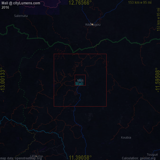
Analysis of Mali night lights 2016
Square area 10x10 km:
 0%
0%90-99
0%80-89
0%70-79
0%60-69
0%50-59
0%40-49
0%30-39
0%20-29
0%10-19
0%0-9
100%Square area 50x50 km:
0%90-99
0%80-89
0%70-79
0%60-69
0%50-59
0%40-49
0%30-39
0%20-29
0%10-19
0%0-9
100%Clear (daylight) street map image can be seen on geolist.org.
Map coordinates:
12° 45' 56.4" North, 13° 0' 4.8" West
12° 4' 44.4" North, 12° 17' 53.5" West
11° 23' 26.1" North, 11° 35' 42.3" West
Some cities around Mali sort by population:
• Labé
84.6 km =52.6 mi,  178°
178°
• Tougué
98.6 km =61.3 mi,  135°
135°
• Pita
113.9 km =70.8 mi,  185°
185°
• Kédougou, SN
54.5 km =33.9 mi,  13°
13°
• Koundara
117.8 km =73.2 mi,  292°
292°
• Koubia
70.2 km =43.6 mi, 141°
• Youkounkoun
102.7 km =63.8 mi,  299°
299°
• Gaoual
104.7 km =65.1 mi,  249°
249°
2417886 (p: 5,479)
Sources (retrieved 2019-11-25):
» Earth at Night: Flat Maps 2012, 2016