Koundara night lights from space
Night Light of Koundara (Boke) from space (Guinea) Src. Average luminocity for 10x10km area is 0.2149% and for 50x50km: 0.0088%.
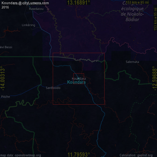
Analysis of Koundara night lights 2016
Square area 10x10 km:
 0%
0%90-99
0%80-89
0%70-79
0%60-69
0%50-59
0%40-49
0%30-39
0%20-29
0%10-19
0.83%0-9
99.17%Square area 50x50 km:
0%90-99
0%80-89
0%70-79
0%60-69
0%50-59
0%40-49
0%30-39
0%20-29
0%10-19
0.03%0-9
99.97%Clear (daylight) street map image can be seen on geolist.org.
Map coordinates:
13° 10' 8.1" North, 14° 0' 11.3" West
12° 28' 60" North, 13° 18' 0" West
11° 47' 45.3" North, 12° 35' 48.8" West
Some cities around Koundara sort by population:
• Vélingara, SN
115.5 km =71.8 mi,  309°
309°
• Kédougou, SN
121.8 km =75.7 mi,  86°
86°
• Gabú, GW
102.7 km =63.8 mi,  257°
257°
• Basse Santa Su, GM
135.1 km =83.9 mi, 312°
• Youkounkoun
20 km =12.4 mi,  74°
74°
• Sabi, GM
128.3 km =79.7 mi, 310°
• Gaoual
82.3 km =51.1 mi,  172°
172°
• Mali
117.8 km =73.2 mi,  112°
112°
2418596 (p: 13,990)
Sources (retrieved 2019-11-25):
» Earth at Night: Flat Maps 2012, 2016