Gaoual night lights from space
Night Light of Gaoual (Boke) from space (Guinea) Src. Average luminocity for 10x10km area is 0% and for 50x50km: 0%.
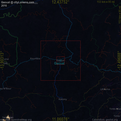
Analysis of Gaoual night lights 2016
Square area 10x10 km:
 0%
0%90-99
0%80-89
0%70-79
0%60-69
0%50-59
0%40-49
0%30-39
0%20-29
0%10-19
0%0-9
100%Square area 50x50 km:
0%90-99
0%80-89
0%70-79
0%60-69
0%50-59
0%40-49
0%30-39
0%20-29
0%10-19
0%0-9
100%Clear (daylight) street map image can be seen on geolist.org.
Map coordinates:
12° 26' 15.1" North, 13° 54' 11.3" West
11° 45' 0" North, 13° 12' 0" West
11° 3' 38.7" North, 12° 29' 48.8" West
Some cities around Gaoual sort by population:
• Labé
110.8 km =68.8 mi,  115°
115°
• Télimélé
96.2 km =59.8 mi,  169°
169°
• Pita
116.6 km =72.5 mi,  131°
131°
• Kédougou, SN
142.5 km =88.5 mi,  51°
51°
• Gabú, GW
125.8 km =78.2 mi,  297°
297°
• Koundara
82.3 km =51.1 mi,  352°
352°
• Youkounkoun
87.3 km =54.2 mi,  5°
5°
• Mali
104.7 km =65.1 mi,  69°
69°
2420826 (p: 7,461)
Sources (retrieved 2019-11-25):
» Earth at Night: Flat Maps 2012, 2016