Tougué night lights from space
Night Light of Tougué (Labe) from space (Guinea) Src. Average luminocity for 10x10km area is 0% and for 50x50km: 0%.

Analysis of Tougué night lights 2016
Square area 10x10 km:
100  0%
0%
90-99 0%
80-89 0%
70-79 0%
60-69 0%
50-59 0%
40-49 0%
30-39 0%
20-29 0%
10-19 0%
0-9 100%
0%90-99
0%80-89
0%70-79
0%60-69
0%50-59
0%40-49
0%30-39
0%20-29
0%10-19
0%0-9
100%Square area 50x50 km:
100 0%
90-99 0%
80-89 0%
70-79 0%
60-69 0%
50-59 0%
40-49 0%
30-39 0%
20-29 0%
10-19 0%
0-9 100%
0%90-99
0%80-89
0%70-79
0%60-69
0%50-59
0%40-49
0%30-39
0%20-29
0%10-19
0%0-9
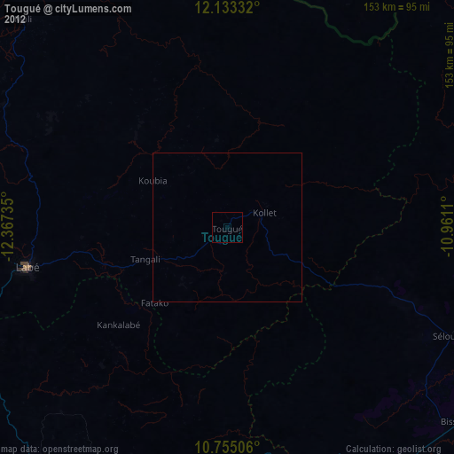
100%Clear (daylight) street map image can be seen on geolist.org.
Map coordinates:
12° 7' 60" North, 12° 22' 2.5" West
11° 26' 42.1" North, 11° 39' 51.2" West
10° 45' 18.2" North, 10° 57' 40" West
Some cities around Tougué sort by population:
• Labé
68.9 km =42.8 mi,  258°
258°
• Pita
90.5 km =56.2 mi,  241°
241°
• Dabola
98.9 km =61.5 mi,  142°
142°
• Diré, ML
120.2 km =74.7 mi,  39°
39°
• Koubia
29.6 km =18.4 mi,  302°
302°
• Dalaba
105.3 km =65.4 mi,  217°
217°
• Dinguiraye
105.2 km =65.4 mi,  99°
99°
• Mali
98.6 km =61.3 mi,  315°
315°
2414545 (p: 25,531)
Sources (retrieved 2019-11-25):
» Earth at Night: Flat Maps 2012, 2016