Diré night lights from space
Night Light of Diré (Tombouctou) from space (Mali) Src. Average luminocity for 10x10km area is 0% and for 50x50km: 0%.
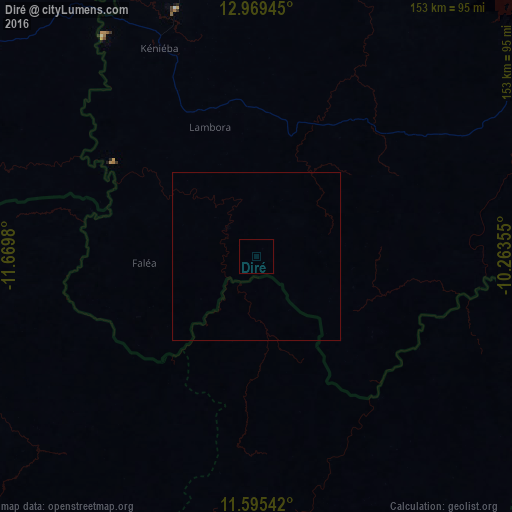
Analysis of Diré night lights 2016
Square area 10x10 km:
 0%
0%90-99
0%80-89
0%70-79
0%60-69
0%50-59
0%40-49
0%30-39
0%20-29
0%10-19
0%0-9
100%Square area 50x50 km:
0%90-99
0%80-89
0%70-79
0%60-69
0%50-59
0%40-49
0%30-39
0%20-29
0%10-19
0%0-9
100%Clear (daylight) street map image can be seen on geolist.org.
Map coordinates:
12° 58' 10" North, 11° 40' 11.3" West
12° 16' 60" North, 10° 58' 0" West
11° 35' 43.5" North, 10° 15' 48.8" West
Some cities around Diré sort by population:
• Bafoulabé
170 km =105.6 mi,  4°
4°
• Tougué, GN
120.2 km =74.7 mi,  219°
219°
• Kédougou, SN
135.3 km =84.1 mi,  282°
282°
• Sagalo
30.4 km =18.9 mi,  107°
107°
• Kokofata
128.9 km =80.1 mi,  58°
58°
• Koubia, GN
127.3 km =79.1 mi,  232°
232°
• Dinguiraye, GN
113.8 km =70.7 mi,  165°
165°
• Mali, GN
146.5 km =91 mi,  261°
261°
2458624 (p: 10,943)
Sources (retrieved 2019-11-25):
» Earth at Night: Flat Maps 2012, 2016