Al Mijlad night lights from space
Night Light of Al Mijlad (West Kordofan State) from space (Sudan) Src. Average luminocity for 10x10km area is 0% and for 50x50km: 0%.
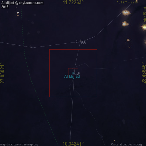

Analysis of Al Mijlad night lights 2016
Square area 10x10 km:
 0%
0%90-99
0%80-89
0%70-79
0%60-69
0%50-59
0%40-49
0%30-39
0%20-29
0%10-19
0%0-9
100%Square area 50x50 km:
0%90-99
0%80-89
0%70-79
0%60-69
0%50-59
0%40-49
0%30-39
0%20-29
0%10-19
0%0-9
100%Clear (daylight) street map image can be seen on geolist.org.
Map coordinates:
11° 43' 21.5" North, 27° 1' 48.8" East
11° 1' 60" North, 27° 43' 60" East
10° 20' 32.7" North, 28° 26' 11.3" East
Some cities around Al Mijlad sort by population:
• El Daein
181.7 km =112.9 mi,  285°
285°
• An Nuhūd
200.4 km =124.5 mi,  22°
22°
• Kadugli
216.7 km =134.7 mi,  90°
90°
• Abū Zabad
220.7 km =137.1 mi,  48°
48°
• Al Fūlah
103.4 km =64.2 mi,  41°
41°
• Al Lagowa
158 km =98.2 mi,  75°
75°
• Mayen Abun, SS
221.3 km =137.5 mi,  162°
162°
• El Fula
100.8 km =62.6 mi, 41°
379102 (p: 19,997)
Sources (retrieved 2019-11-25):
» Earth at Night: Flat Maps 2012, 2016