Abū Zabad night lights from space
Night Light of Abū Zabad (West Kordofan State) from space (Sudan) Src. Average luminocity for 10x10km area is 0% and for 50x50km: 0%.
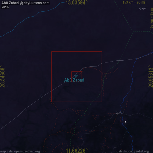
Analysis of Abū Zabad night lights 2016
Square area 10x10 km:
 0%
0%90-99
0%80-89
0%70-79
0%60-69
0%50-59
0%40-49
0%30-39
0%20-29
0%10-19
0%0-9
100%Square area 50x50 km:
0%90-99
0%80-89
0%70-79
0%60-69
0%50-59
0%40-49
0%30-39
0%20-29
0%10-19
0%0-9
100%Clear (daylight) street map image can be seen on geolist.org.
Map coordinates:
13° 2' 9.4" North, 28° 32' 48.8" East
12° 21' 0" North, 29° 15' 0" East
11° 39' 44.1" North, 29° 57' 11.3" East
Some cities around Abū Zabad sort by population:
• El Obeid
140 km =87 mi,  48°
48°
• An Nuhūd
96.8 km =60.1 mi,  293°
293°
• Kadugli
157.4 km =97.8 mi,  161°
161°
• Dilling
54.8 km =34.1 mi,  127°
127°
• Ar Rahad
157.3 km =97.7 mi,  74°
74°
• Al Fūlah
118.8 km =73.8 mi,  234°
234°
• Al Lagowa
106.4 km =66.1 mi,  186°
186°
• El Fula
121.2 km =75.3 mi, 234°
380348 (p: 15,304)
Sources (retrieved 2019-11-25):
» Earth at Night: Flat Maps 2012, 2016