Al Lagowa night lights from space
Night Light of Al Lagowa (West Kordofan State) from space (Sudan) Src. Average luminocity for 10x10km area is 0% and for 50x50km: 0%.
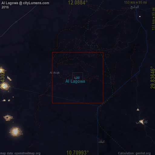
Analysis of Al Lagowa night lights 2016
Square area 10x10 km:
 0%
0%90-99
0%80-89
0%70-79
0%60-69
0%50-59
0%40-49
0%30-39
0%20-29
0%10-19
0%0-9
100%Square area 50x50 km:
0%90-99
0%80-89
0%70-79
0%60-69
0%50-59
0%40-49
0%30-39
0%20-29
0%10-19
0%0-9
100%Clear (daylight) street map image can be seen on geolist.org.
Map coordinates:
12° 5' 18.2" North, 28° 25' 48.8" East
11° 24' 0" North, 29° 7' 60" East
10° 42' 35.7" North, 29° 50' 11.3" East
Some cities around Al Lagowa sort by population:
• An Nuhūd
163.4 km =101.5 mi,  332°
332°
• Kadugli
77.1 km =47.9 mi,  124°
124°
• Dilling
91.6 km =56.9 mi,  37°
37°
• Al Mijlad
158 km =98.2 mi,  255°
255°
• Abū Zabad
106.4 km =66.1 mi,  6°
6°
• Talodi
160.6 km =99.8 mi, 122°
• Al Fūlah
92.2 km =57.3 mi,  293°
293°
• El Fula
92.5 km =57.5 mi, 292°
379198 (p: 11,024)
Sources (retrieved 2019-11-25):
» Earth at Night: Flat Maps 2012, 2016