Mayen Abun night lights from space
Night Light of Mayen Abun (Twic) from space (South Sudan) Src. Average luminocity for 10x10km area is 0% and for 50x50km: 0%.
Analysis of Mayen Abun night lights 2016
Square area 10x10 km:
100  0%
0%
90-99 0%
80-89 0%
70-79 0%
60-69 0%
50-59 0%
40-49 0%
30-39 0%
20-29 0%
10-19 0%
0-9 100%
0%90-99
0%80-89
0%70-79
0%60-69
0%50-59
0%40-49
0%30-39
0%20-29
0%10-19
0%0-9
100%Square area 50x50 km:
100 0%
90-99 0%
80-89 0%
70-79 0%
60-69 0%
50-59 0%
40-49 0%
30-39 0%
20-29 0%
10-19 0%
0-9 100%
0%90-99
0%80-89
0%70-79
0%60-69
0%50-59
0%40-49
0%30-39
0%20-29
0%10-19
0%0-9
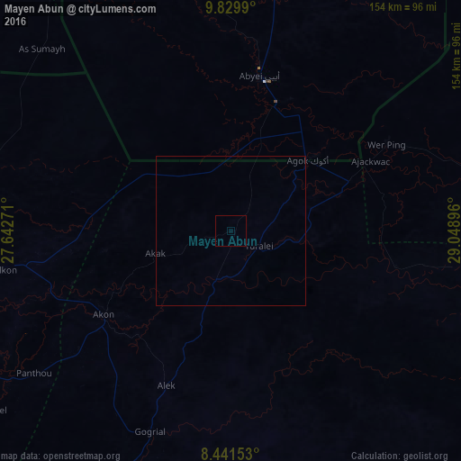
100%Clear (daylight) street map image can be seen on geolist.org.
Map coordinates:
9° 49' 47.6" North, 27° 38' 33.8" East
9° 8' 11" North, 28° 20' 45" East
8° 26' 29.5" North, 29° 2' 56.3" East
Some cities around Mayen Abun sort by population:
• Winejok
86.2 km =53.6 mi,  260°
260°
• Wau
164.3 km =102.1 mi,  193°
193°
• Aweil
112.7 km =70 mi,  248°
248°
• Gogrial
72.3 km =44.9 mi,  201°
201°
• Tonj
210.3 km =130.7 mi,  170°
170°
• Bentiu
160 km =99.4 mi,  85°
85°
• Pariang
199.1 km =123.7 mi,  64°
64°
• Kuacjok
101 km =62.8 mi, 203°
11118586 (p: 0)
Sources (retrieved 2019-11-25):
» Earth at Night: Flat Maps 2012, 2016