An Nuhūd night lights from space
Night Light of An Nuhūd (West Kordofan State) from space (Sudan) Src. Average luminocity for 10x10km area is 3.9481% and for 50x50km: 0.155%.

Analysis of An Nuhūd night lights 2016
Square area 10x10 km:
 0%
0%90-99
0%80-89
0%70-79
0.22%60-69
1.52%50-59
0%40-49
3.25%30-39
0.22%20-29
3.46%10-19
0.87%0-9
90.48%Square area 50x50 km:
0%90-99
0%80-89
0%70-79
0.01%60-69
0.06%50-59
0%40-49
0.13%30-39
0.01%20-29
0.14%10-19
0.03%0-9
99.63%Clear (daylight) street map image can be seen on geolist.org.
Map coordinates:
13° 23' 5.9" North, 27° 43' 48.8" East
12° 42' 0" North, 28° 25' 60" East
12° 0' 47.4" North, 29° 8' 11.3" East
Some cities around An Nuhūd sort by population:
• El Obeid
200.6 km =124.6 mi,  74°
74°
• Dilling
150.6 km =93.6 mi,  118°
118°
• Al Mijlad
200.4 km =124.5 mi,  202°
202°
• Abū Zabad
96.8 km =60.1 mi,  113°
113°
• Al Fūlah
107.8 km =67 mi,  184°
184°
• Al Lagowa
163.4 km =101.5 mi,  152°
152°
• Umm Kaddadah
214 km =133 mi,  297°
297°
• El Fula
110.3 km =68.5 mi, 184°
378699 (p: 108,008)
Sources (retrieved 2019-11-25):
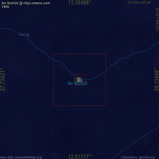
» NASA, Earths city lights 1995
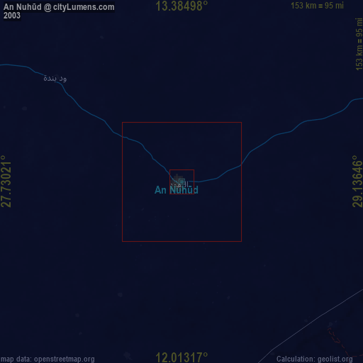
» NASA city lights 2003
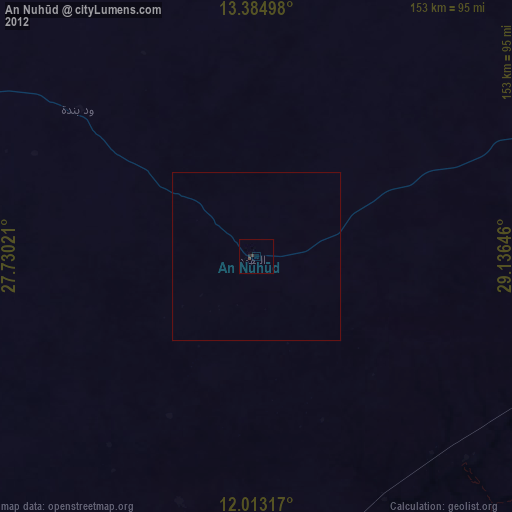
» Earth at Night: Flat Maps 2012, 2016