Kadugli night lights from space
Night Light of Kadugli (Southern Kordofan) from space (Sudan) Src. Average luminocity for 10x10km area is 8.8831% and for 50x50km: 0.4571%.
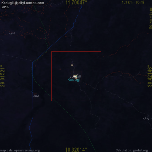
Analysis of Kadugli night lights 2016
Square area 10x10 km:
 1.3%
1.3%90-99
1.3%80-89
0%70-79
0%60-69
2.6%50-59
2.16%40-49
3.03%30-39
1.52%20-29
1.08%10-19
0%0-9
87.01%Square area 50x50 km:
0.07%90-99
0.07%80-89
0.03%70-79
0%60-69
0.1%50-59
0.11%40-49
0.14%30-39
0.08%20-29
0.04%10-19
0%0-9
99.35%Clear (daylight) street map image can be seen on geolist.org.
Map coordinates:
11° 42' 1.7" North, 29° 0' 54.8" East
11° 0' 40" North, 29° 43' 6" East
10° 19' 12.5" North, 30° 25' 17.3" East
Some cities around Kadugli sort by population:
• Dilling
115.8 km =72 mi,  356°
356°
• Abu Jibeha
172 km =106.9 mi,  73°
73°
• Abū Zabad
157.4 km =97.8 mi,  341°
341°
• Talodi
83.6 km =51.9 mi,  120°
120°
• Al Fūlah
168.6 km =104.8 mi,  298°
298°
• Al Lagowa
77.1 km =47.9 mi, 304°
• El Fula
168.7 km =104.8 mi, 297°
• Pariang, SS
125.2 km =77.8 mi,  166°
166°
373141 (p: 87,666)
Sources (retrieved 2019-11-25):
» NASA, Earths city lights 1995
» NASA city lights 2003
» Earth at Night: Flat Maps 2012, 2016