El Daein night lights from space
Night Light of El Daein (Eastern Darfur) from space (Sudan) Src. Average luminocity for 10x10km area is 4.2879% and for 50x50km: 0.1953%.
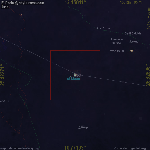
Analysis of El Daein night lights 2016
Square area 10x10 km:
 0%
0%90-99
0%80-89
0%70-79
0.87%60-69
0%50-59
0.87%40-49
3.25%30-39
0.43%20-29
3.9%10-19
1.08%0-9
89.61%Square area 50x50 km:
0%90-99
0%80-89
0.03%70-79
0.03%60-69
0%50-59
0.03%40-49
0.13%30-39
0.02%20-29
0.15%10-19
0.04%0-9
99.57%Clear (daylight) street map image can be seen on geolist.org.
Map coordinates:
12° 9' 0.4" North, 25° 25' 21.8" East
11° 27' 42.7" North, 26° 7' 33" East
10° 46' 18.9" North, 26° 49' 44.3" East
Some cities around El Daein sort by population:
• Nyala
150.4 km =93.5 mi,  295°
295°
• El Fasher
255.2 km =158.6 mi,  340°
340°
• Gereida
109.4 km =68 mi,  259°
259°
• An Nuhūd
286.2 km =177.8 mi,  61°
61°
• Al Mijlad
181.7 km =112.9 mi,  105°
105°
• Al Fūlah
245 km =152.2 mi,  82°
82°
• Umm Kaddadah
245.6 km =152.6 mi,  14°
14°
• El Fula
243.4 km =151.2 mi, 83°
380148 (p: 264,734)
Sources (retrieved 2019-11-25):
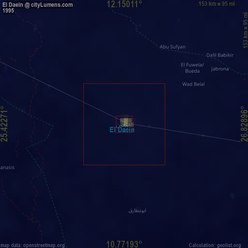
» NASA, Earths city lights 1995
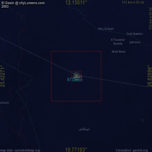
» NASA city lights 2003
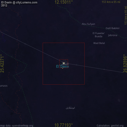
» Earth at Night: Flat Maps 2012, 2016