Marāt night lights from space
Night Light of Marāt (Ar Riyāḑ) from space (Saudi Arabia) Src. Average luminocity for 10x10km area is 51.0152% and for 50x50km: 10.9566%.
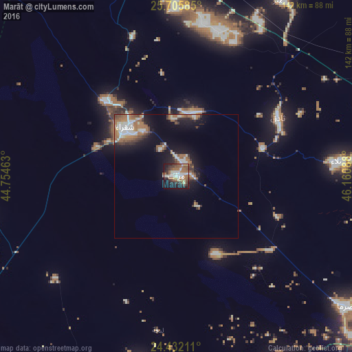
Analysis of Marāt night lights 2016
Square area 10x10 km:
 6.06%
6.06%90-99
13.45%80-89
4.92%70-79
2.46%60-69
13.45%50-59
11.74%40-49
5.11%30-39
9.09%20-29
11.17%10-19
19.7%0-9
2.84%Square area 50x50 km:
1.37%90-99
2.46%80-89
0.59%70-79
0.57%60-69
3.32%50-59
1.59%40-49
1.19%30-39
1.64%20-29
1.96%10-19
7.2%0-9
78.11%Clear (daylight) street map image can be seen on geolist.org.
Map coordinates:
25° 42' 21.1" North, 44° 45' 16.7" East
25° 4' 14.3" North, 45° 27' 27.9" East
24° 25' 55.6" North, 46° 9' 39.2" East
Some cities around Marāt sort by population:
• Riyadh
134.4 km =83.5 mi,  108°
108°
• Buraydah
203.8 km =126.6 mi,  313°
313°
• Al Mithnab
151.9 km =94.4 mi, 305°
• Ad Dawādimī
124.4 km =77.3 mi,  239°
239°
• Az Zulfī
151 km =93.8 mi,  334°
334°
• Sājir
87.3 km =54.2 mi,  278°
278°
• Al Arţāwīyah
159.7 km =99.2 mi,  356°
356°
• Tumayr
81.6 km =50.7 mi,  30°
30°
104376 (p: 8,885)
Sources (retrieved 2019-11-25):
» Earth at Night: Flat Maps 2012, 2016