Ad Dawādimī night lights from space
Night Light of Ad Dawādimī (Ar Riyāḑ) from space (Saudi Arabia) Src. Average luminocity for 10x10km area is 82.3333% and for 50x50km: 9.7534%.
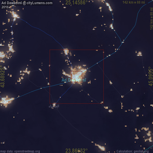
Analysis of Ad Dawādimī night lights 2016
Square area 10x10 km:
 24.4%
24.4%90-99
24.6%80-89
7.74%70-79
9.72%60-69
25.6%50-59
3.77%40-49
2.78%30-39
1.39%20-29
0%10-19
0%0-9
0%Square area 50x50 km:
1.2%90-99
1.61%80-89
0.78%70-79
0.89%60-69
3.18%50-59
1.18%40-49
1.14%30-39
1.35%20-29
2.17%10-19
5.97%0-9
80.53%Clear (daylight) street map image can be seen on geolist.org.
Map coordinates:
25° 8' 45.1" North, 43° 41' 21.3" East
24° 30' 27.8" North, 44° 23' 32.5" East
23° 51' 58.8" North, 45° 5' 43.8" East
Some cities around Ad Dawādimī sort by population:
• Ar Rass
176.2 km =109.5 mi,  329°
329°
• Al Mithnab
151.3 km =94 mi,  353°
353°
• Az Zulfī
203.7 km =126.6 mi,  12°
12°
• Afif
163.9 km =101.8 mi,  245°
245°
• Al Bukayrīyah
195.8 km =121.7 mi,  337°
337°
• Sājir
77.9 km =48.4 mi,  15°
15°
• Marāt
124.4 km =77.3 mi,  59°
59°
• Tumayr
199.4 km =123.9 mi,  48°
48°
110325 (p: 54,474)
Sources (retrieved 2019-11-25):
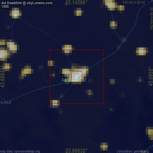
» NASA, Earths city lights 1995
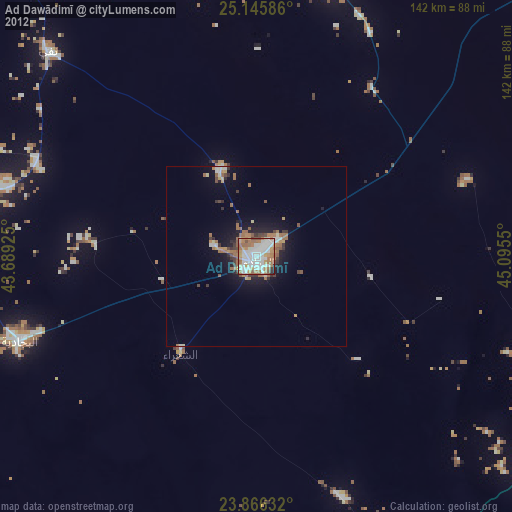
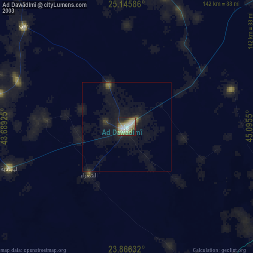
» NASA city lights 2003
» Earth at Night: Flat Maps 2012, 2016