Villarrica night lights from space
Night Light of Villarrica (Guairá) from space (Paraguay) Src. Average luminocity for 10x10km area is 27.0303% and for 50x50km: 3.1301%.
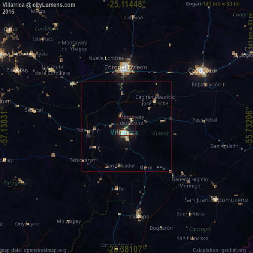
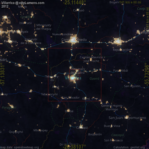
Analysis of Villarrica night lights 2016
Square area 10x10 km:
 4.17%
4.17%90-99
3.41%80-89
3.6%70-79
3.98%60-69
3.41%50-59
2.65%40-49
3.98%30-39
5.49%20-29
1.14%10-19
27.08%0-9
41.1%Square area 50x50 km:
0.19%90-99
0.19%80-89
0.46%70-79
0.32%60-69
0.69%50-59
0.38%40-49
0.57%30-39
1.08%20-29
0.35%10-19
1.98%0-9
93.8%Clear (daylight) street map image can be seen on geolist.org.
Map coordinates:
25° 6' 52.1" South, 57° 8' 17.9" West
25° 44' 58.1" South, 56° 26' 6.6" West
26° 22' 51.9" South, 55° 43' 55.4" West
Some cities around Villarrica sort by population:
• Caaguazú
52.2 km =32.4 mi,  53°
53°
• Coronel Oviedo
33.9 km =21.1 mi,  359°
359°
• Caazapá
50.1 km =31.1 mi,  172°
172°
• Piribebuy
68.6 km =42.6 mi,  297°
297°
• Eusebio Ayala
66.7 km =41.4 mi,  307°
307°
• San Juan Nepomuceno
64 km =39.8 mi,  129°
129°
• Repatriación
54.2 km =33.7 mi,  63°
63°
• San José
38.3 km =23.8 mi, 308°
3436714 (p: 41,157)
Sources (retrieved 2019-11-25):
» Earth at Night: Flat Maps 2012, 2016