Caaguazú night lights from space
Night Light of Caaguazú from space (Paraguay) Src. Average luminocity for 10x10km area is 40.4107% and for 50x50km: 2.5969%.
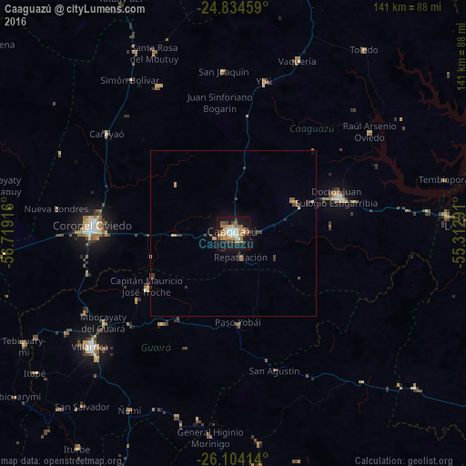
Analysis of Caaguazú night lights 2016
Square area 10x10 km:
 3.37%
3.37%90-99
6.35%80-89
4.76%70-79
8.13%60-69
13.89%50-59
2.38%40-49
6.15%30-39
1.79%20-29
5.75%10-19
40.48%0-9
6.94%Square area 50x50 km:
0.13%90-99
0.24%80-89
0.32%70-79
0.47%60-69
0.68%50-59
0.15%40-49
0.41%30-39
0.54%20-29
0.39%10-19
2.09%0-9
94.59%Clear (daylight) street map image can be seen on geolist.org.
Map coordinates:
24° 50' 4.5" South, 56° 43' 9" West
25° 28' 15.7" South, 56° 0' 57.7" West
26° 6' 14.9" South, 55° 18' 46.5" West
Some cities around Caaguazú sort by population:
• Coronel Oviedo
42.7 km =26.5 mi,  273°
273°
• Villarrica
52.2 km =32.4 mi,  233°
233°
• Caazapá
88 km =54.7 mi,  203°
203°
• Colonia General Alfredo Stroessner
33.3 km =20.7 mi,  69°
69°
• San Juan Nepomuceno
71.7 km =44.6 mi,  173°
173°
• Doctor Juan León Mallorquín
76.6 km =47.6 mi,  86°
86°
• Repatriación
9.6 km =6 mi,  136°
136°
• San José
72.3 km =44.9 mi,  264°
264°
3439317 (p: 54,808)
Sources (retrieved 2019-11-25):
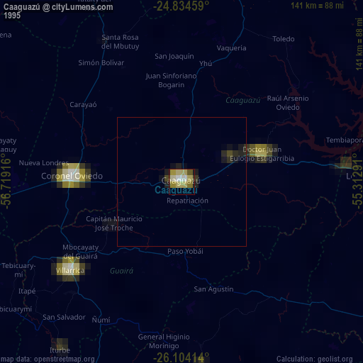
» NASA, Earths city lights 1995
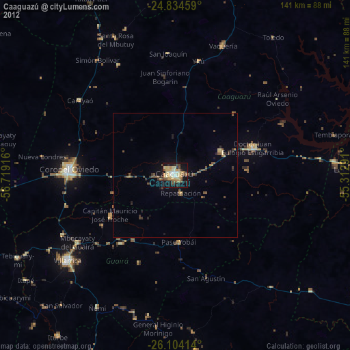
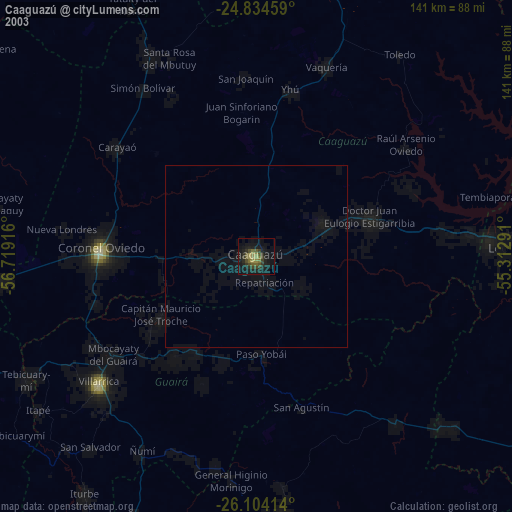
» NASA city lights 2003
» Earth at Night: Flat Maps 2012, 2016