San Juan Nepomuceno night lights from space
Night Light of San Juan Nepomuceno (Caazapá) from space (Paraguay) Src. Average luminocity for 10x10km area is 7.3889% and for 50x50km: 0.9283%.
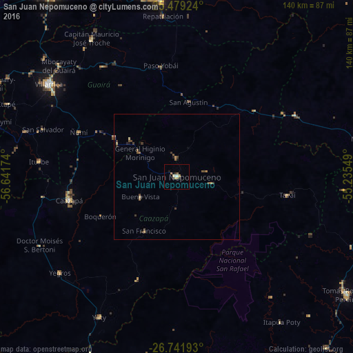
Analysis of San Juan Nepomuceno night lights 2016
Square area 10x10 km:
 0.4%
0.4%90-99
1.19%80-89
1.39%70-79
1.79%60-69
1.59%50-59
0%40-49
0%30-39
0.99%20-29
1.59%10-19
1.39%0-9
89.68%Square area 50x50 km:
0.02%90-99
0.05%80-89
0.15%70-79
0.12%60-69
0.25%50-59
0.18%40-49
0.19%30-39
0.33%20-29
0.12%10-19
0.16%0-9
98.44%Clear (daylight) street map image can be seen on geolist.org.
Map coordinates:
25° 28' 45.3" South, 56° 38' 30.3" West
26° 6' 44.2" South, 55° 56' 19" West
26° 44' 30.9" South, 55° 14' 7.8" West
Some cities around San Juan Nepomuceno sort by population:
• Caaguazú
71.7 km =44.6 mi,  353°
353°
• Coronel Oviedo
89.7 km =55.7 mi,  325°
325°
• Villarrica
64 km =39.8 mi,  309°
309°
• Caazapá
43.9 km =27.3 mi,  257°
257°
• Colonia General Alfredo Stroessner
86.4 km =53.7 mi,  15°
15°
• Repatriación
64.4 km =40 mi,  358°
358°
• San Pedro del Paraná
84.4 km =52.4 mi,  198°
198°
• Arquitecto Tomás Romero Pereira
80.1 km =49.8 mi,  121°
121°
3437059 (p: 7,893)
Sources (retrieved 2019-11-25):
» Earth at Night: Flat Maps 2012, 2016