Coronel Oviedo night lights from space
Night Light of Coronel Oviedo (Caaguazú) from space (Paraguay) Src. Average luminocity for 10x10km area is 49.7361% and for 50x50km: 3.2242%.
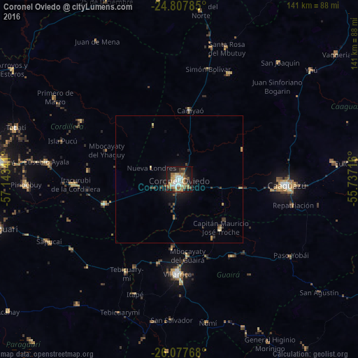
Analysis of Coronel Oviedo night lights 2016
Square area 10x10 km:
 8.53%
8.53%90-99
8.33%80-89
9.92%70-79
5.16%60-69
12.1%50-59
8.13%40-49
2.98%30-39
3.57%20-29
8.33%10-19
28.97%0-9
3.97%Square area 50x50 km:
0.33%90-99
0.33%80-89
0.58%70-79
0.33%60-69
0.62%50-59
0.47%40-49
0.31%30-39
0.57%20-29
0.56%10-19
2.65%0-9
93.25%Clear (daylight) street map image can be seen on geolist.org.
Map coordinates:
24° 48' 28.3" South, 57° 8' 36.3" West
25° 26' 40" South, 56° 26' 25" West
26° 4' 39.6" South, 55° 44' 13.8" West
Some cities around Coronel Oviedo sort by population:
• Caaguazú
42.7 km =26.5 mi,  93°
93°
• Villarrica
33.9 km =21.1 mi,  179°
179°
• Caacupé
70.8 km =44 mi,  275°
275°
• Piribebuy
60.4 km =37.5 mi,  267°
267°
• Tobatí
67.7 km =42.1 mi,  287°
287°
• Eusebio Ayala
52.7 km =32.7 mi, 277°
• Repatriación
50.2 km =31.2 mi,  101°
101°
• San José
31 km =19.3 mi,  251°
251°
3438819 (p: 51,286)
Sources (retrieved 2019-11-25):
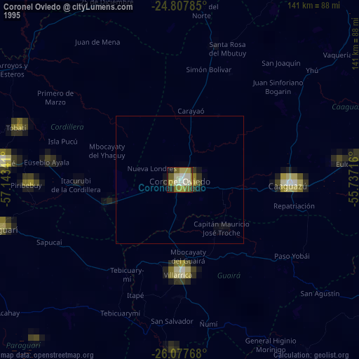
» NASA, Earths city lights 1995
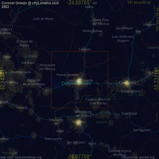
» NASA city lights 2003
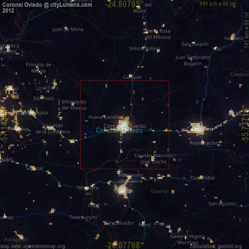
» Earth at Night: Flat Maps 2012, 2016