Rio Tinto night lights from space
Night Light of Rio Tinto (Porto) from space (Portugal) Src. Average luminocity for 10x10km area is 97.8068% and for 50x50km: 53.4202%.
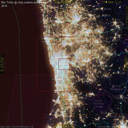
Analysis of Rio Tinto night lights 2016
Square area 10x10 km:
 80.68%
90-99
12.01%80-89
2.44%70-79
2.76%60-69
2.11%50-59
0%40-49
0%30-39
0%20-29
0%10-19
0%0-9
0%Square area 50x50 km:
14.89%90-99
11.81%80-89
6.28%70-79
8.42%60-69
9.22%50-59
6.08%40-49
5.12%30-39
4.75%20-29
4.98%10-19
6.22%0-9
22.22%Clear (daylight) street map image can be seen on geolist.org.
Map coordinates:
41° 42' 20.8" North, 9° 15' 45.6" West
41° 10' 43.4" North, 8° 33' 34.3" West
40° 38' 50.5" North, 7° 51' 23.1" West
Some cities around Rio Tinto sort by population:
• Ermesinde
4.2 km =2.6 mi,  7°
7°
• Gondomar
4.4 km =2.7 mi,  148°
148°
• Águas Santas
3.8 km =2.4 mi,  338°
338°
• São Mamede de Infesta
4.6 km =2.9 mi,  288°
288°
• Fânzeres
2.8 km =1.7 mi,  116°
116°
• Valongo
5.2 km =3.2 mi,  77°
77°
• Baguim do Monte
2.1 km =1.3 mi,  46°
46°
• Pedrouços
2.5 km =1.6 mi,  296°
296°
2735083 (p: 49,966)
Sources (retrieved 2019-11-25):
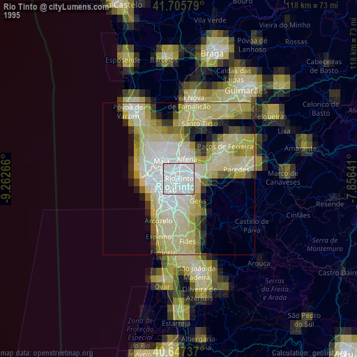
» NASA, Earths city lights 1995
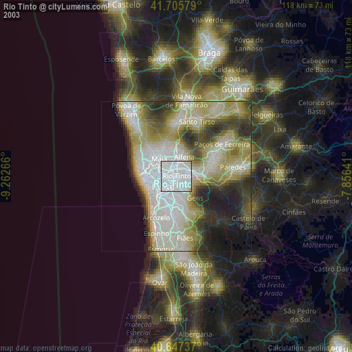
» NASA city lights 2003
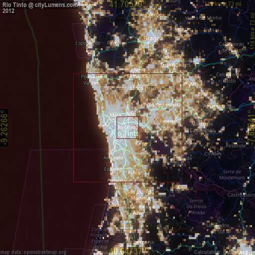
» Earth at Night: Flat Maps 2012, 2016