Ermesinde night lights from space
Night Light of Ermesinde (Porto) from space (Portugal) Src. Average luminocity for 10x10km area is 93.9302% and for 50x50km: 56.5236%.
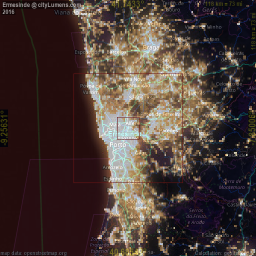
Analysis of Ermesinde night lights 2016
Square area 10x10 km:
 64.77%
90-99
17.21%80-89
4.55%70-79
4.87%60-69
4.87%50-59
2.27%40-49
1.46%30-39
0%20-29
0%10-19
0%0-9
0%Square area 50x50 km:
15.12%90-99
12.53%80-89
6.94%70-79
9.1%60-69
10.15%50-59
6.73%40-49
5.75%30-39
4.87%20-29
4.81%10-19
5.88%0-9
18.12%Clear (daylight) street map image can be seen on geolist.org.
Map coordinates:
41° 44' 35.9" North, 9° 15' 22.7" West
41° 12' 59.5" North, 8° 33' 11.4" West
40° 41' 7.8" North, 7° 51' 0.2" West
Some cities around Ermesinde sort by population:
• Rio Tinto
4.2 km =2.6 mi,  187°
187°
• Águas Santas
2 km =1.2 mi,  249°
249°
• São Mamede de Infesta
5.6 km =3.5 mi,  240°
240°
• Fânzeres
5.8 km =3.6 mi,  160°
160°
• Valongo
5.5 km =3.4 mi,  123°
123°
• Baguim do Monte
2.9 km =1.8 mi, 159°
• Alfena
3.3 km =2.1 mi,  46°
46°
• Pedrouços
4.1 km =2.5 mi,  221°
221°
2739997 (p: 39,420)
Sources (retrieved 2019-11-25):
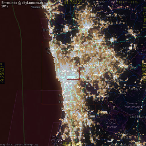
» Earth at Night: Flat Maps 2012, 2016