Águas Santas night lights from space
Night Light of Águas Santas (Porto) from space (Portugal) Src. Average luminocity for 10x10km area is 97.9318% and for 50x50km: 54.222%.
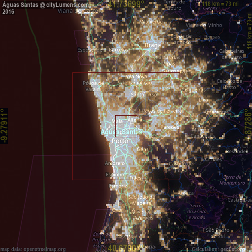
Analysis of Águas Santas night lights 2016
Square area 10x10 km:
 80.68%
90-99
12.34%80-89
2.6%70-79
2.92%60-69
1.46%50-59
0%40-49
0%30-39
0%20-29
0%10-19
0%0-9
0%Square area 50x50 km:
15.01%90-99
12.24%80-89
6.57%70-79
8.57%60-69
9.36%50-59
6.15%40-49
5.22%30-39
4.49%20-29
4.74%10-19
5.81%0-9
21.83%Clear (daylight) street map image can be seen on geolist.org.
Map coordinates:
41° 44' 13.2" North, 9° 16' 44.8" West
41° 12' 36.6" North, 8° 34' 33.6" West
40° 40' 44.7" North, 7° 52' 22.3" West
Some cities around Águas Santas sort by population:
• Rio Tinto
3.8 km =2.4 mi,  158°
158°
• Ermesinde
2 km =1.2 mi,  69°
69°
• Maia
4.6 km =2.9 mi,  307°
307°
• São Mamede de Infesta
3.6 km =2.2 mi,  235°
235°
• Leça do Bailio
4.9 km =3 mi,  272°
272°
• Baguim do Monte
3.5 km =2.2 mi,  124°
124°
• Alfena
5.2 km =3.2 mi,  55°
55°
• Pedrouços
2.5 km =1.6 mi,  199°
199°
2743304 (p: 27,686)
Sources (retrieved 2019-11-25):
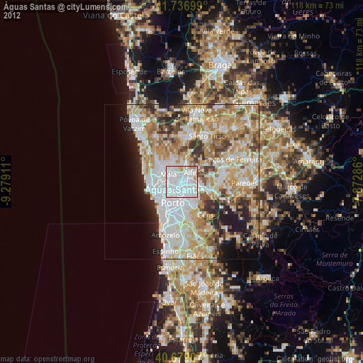
» Earth at Night: Flat Maps 2012, 2016