São Mamede de Infesta night lights from space
Night Light of São Mamede de Infesta (Porto) from space (Portugal) Src. Average luminocity for 10x10km area is 99.8247% and for 50x50km: 49.865%.
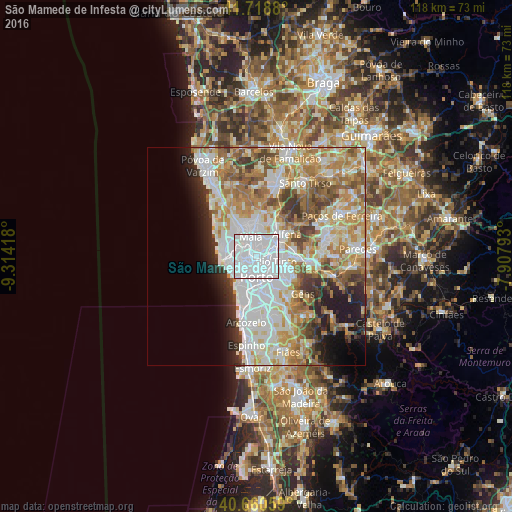
Analysis of São Mamede de Infesta night lights 2016
Square area 10x10 km:
 89.45%
90-99
10.55%80-89
0%70-79
0%60-69
0%50-59
0%40-49
0%30-39
0%20-29
0%10-19
0%0-9
0%Square area 50x50 km:
14.59%90-99
11.5%80-89
5.83%70-79
7.63%60-69
8.08%50-59
5.31%40-49
4.21%30-39
4.1%20-29
4.67%10-19
5.75%0-9
28.33%Clear (daylight) street map image can be seen on geolist.org.
Map coordinates:
41° 43' 7.7" North, 9° 18' 51" West
41° 11' 30.6" North, 8° 36' 39.8" West
40° 39' 38.1" North, 7° 54' 28.5" West
Some cities around São Mamede de Infesta sort by population:
• Porto
4.7 km =2.9 mi,  179°
179°
• Rio Tinto
4.6 km =2.9 mi,  108°
108°
• Maia
4.9 km =3 mi,  351°
351°
• Senhora da Hora
3.5 km =2.2 mi,  259°
259°
• Águas Santas
3.6 km =2.2 mi,  55°
55°
• Leça do Bailio
3 km =1.9 mi,  319°
319°
• Pedrouços
2.1 km =1.3 mi,  99°
99°
• Guifões
4.9 km =3 mi,  277°
277°
2734434 (p: 25,940)
Sources (retrieved 2019-11-25):
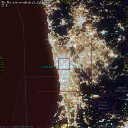
» Earth at Night: Flat Maps 2012, 2016