Valongo night lights from space
Night Light of Valongo (Porto) from space (Portugal) Src. Average luminocity for 10x10km area is 81.6672% and for 50x50km: 59.0814%.
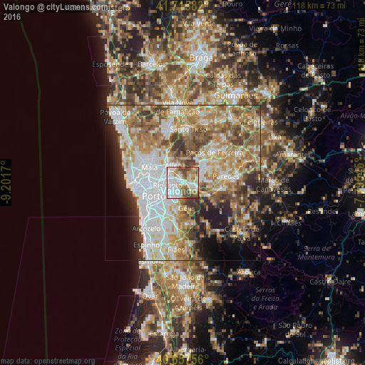
Analysis of Valongo night lights 2016
Square area 10x10 km:
 32.79%
90-99
19.64%80-89
6.82%70-79
10.88%60-69
10.88%50-59
7.14%40-49
10.06%30-39
1.79%20-29
0%10-19
0%0-9
0%Square area 50x50 km:
14.96%90-99
12.67%80-89
7.17%70-79
9.55%60-69
10.77%50-59
7.94%40-49
6.16%30-39
5.59%20-29
6.5%10-19
6.6%0-9
12.09%Clear (daylight) street map image can be seen on geolist.org.
Map coordinates:
41° 42' 57" North, 9° 12' 6.1" West
41° 11' 19.8" North, 8° 29' 54.9" West
40° 39' 27.2" North, 7° 47' 43.6" West
Some cities around Valongo sort by population:
• Rio Tinto
5.2 km =3.2 mi,  257°
257°
• Ermesinde
5.5 km =3.4 mi,  303°
303°
• Fânzeres
3.5 km =2.2 mi,  227°
227°
• São Pedro da Cova
5.1 km =3.2 mi,  181°
181°
• Baguim do Monte
3.6 km =2.2 mi,  275°
275°
• Campo
2.8 km =1.7 mi,  98°
98°
• Sobrado
4.4 km =2.7 mi,  56°
56°
• Gandra
5.6 km =3.5 mi,  75°
75°
2732978 (p: 21,328)
Sources (retrieved 2019-11-25):
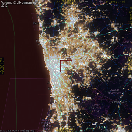
» Earth at Night: Flat Maps 2012, 2016