Gondomar night lights from space
Night Light of Gondomar (Porto) from space (Portugal) Src. Average luminocity for 10x10km area is 87.2646% and for 50x50km: 53.4396%.
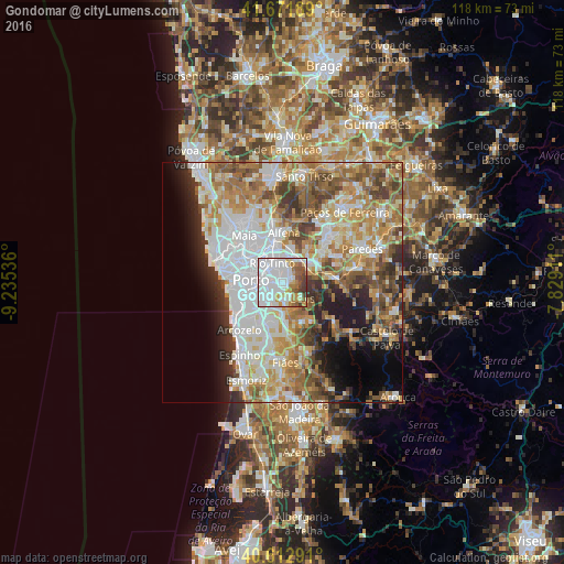
Analysis of Gondomar night lights 2016
Square area 10x10 km:
 49.68%
90-99
17.69%80-89
5.52%70-79
6.66%60-69
6.66%50-59
6.33%40-49
4.71%30-39
2.76%20-29
0%10-19
0%0-9
0%Square area 50x50 km:
14.52%90-99
11.4%80-89
6.11%70-79
8.08%60-69
9.38%50-59
6.65%40-49
5.73%30-39
5.06%20-29
5.84%10-19
6.84%0-9
20.39%Clear (daylight) street map image can be seen on geolist.org.
Map coordinates:
41° 40' 18.8" North, 9° 14' 7.3" West
41° 8' 40.3" North, 8° 31' 56" West
40° 36' 46.5" North, 7° 49' 44.8" West
Some cities around Gondomar sort by population:
• Rio Tinto
4.4 km =2.7 mi,  328°
328°
• Oliveira do Douro
4.9 km =3 mi,  243°
243°
• Fânzeres
2.6 km =1.6 mi,  4°
4°
• São Pedro da Cova
2.7 km =1.7 mi,  92°
92°
• Baguim do Monte
5.3 km =3.3 mi,  351°
351°
• Valbom
3 km =1.9 mi, 235°
• Avintes
4.5 km =2.8 mi,  201°
201°
• Jovim
3.9 km =2.4 mi,  163°
163°
2738925 (p: 27,691)
Sources (retrieved 2019-11-25):
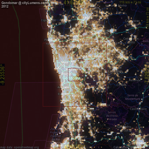
» Earth at Night: Flat Maps 2012, 2016