Qalqīlyah night lights from space
Night Light of Qalqīlyah (West Bank) from space (Palestinian Territory) Src. Average luminocity for 10x10km area is 88.6503% and for 50x50km: 62.2827%.
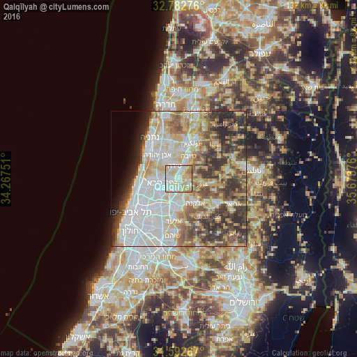
Analysis of Qalqīlyah night lights 2016
Square area 10x10 km:
 23.6%
23.6%90-99
27.8%80-89
30.24%70-79
9.97%60-69
6.12%50-59
2.27%40-49
0%30-39
0%20-29
0%10-19
0%0-9
0%Square area 50x50 km:
16.02%90-99
14.92%80-89
11.02%70-79
7.85%60-69
5.56%50-59
7.17%40-49
8.72%30-39
7.68%20-29
8.54%10-19
2.89%0-9
9.62%Clear (daylight) street map image can be seen on geolist.org.
Map coordinates:
32° 46' 57.9" North, 34° 16' 3" East
32° 11' 22.8" North, 34° 58' 14.3" East
31° 35' 33.6" North, 35° 40' 25.5" East
Some cities around Qalqīlyah sort by population:
• Kfar Saba, IL
6.2 km =3.9 mi,  254°
254°
• Hod HaSharon, IL
8 km =5 mi, 245°
• Tirah, IL
5.3 km =3.3 mi,  338°
338°
• Kafr Qāsim, IL
8.4 km =5.2 mi,  176°
176°
• ‘Azzūn
8.3 km =5.2 mi,  101°
101°
• Jaljūlya, IL
4.2 km =2.6 mi,  202°
202°
• Oranit
6.7 km =4.2 mi,  163°
163°
• Ḩablah
2.8 km =1.7 mi,  166°
166°
282457 (p: 43,212)
Sources (retrieved 2019-11-25):
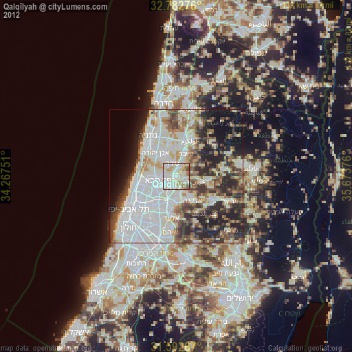
» Earth at Night: Flat Maps 2012, 2016