Kfar Saba night lights from space
Night Light of Kfar Saba (Central District) from space (Israel) Src. Average luminocity for 10x10km area is 95.292% and for 50x50km: 57.8758%.
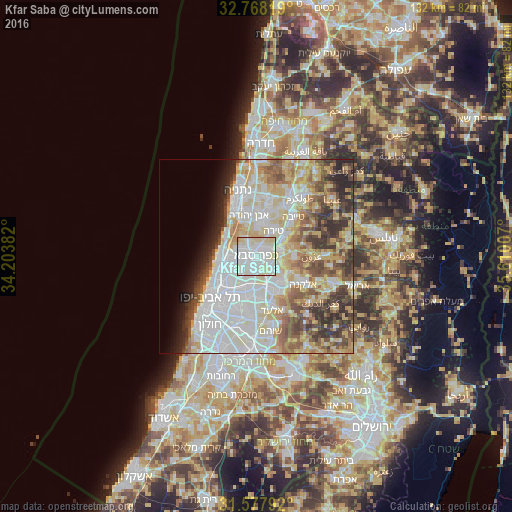
Analysis of Kfar Saba night lights 2016
Square area 10x10 km:
 34.79%
90-99
44.06%80-89
19.06%70-79
1.75%60-69
0.35%50-59
0%40-49
0%30-39
0%20-29
0%10-19
0%0-9
0%Square area 50x50 km:
16.36%90-99
14.67%80-89
10.42%70-79
6.74%60-69
4.86%50-59
6.37%40-49
6.58%30-39
5.45%20-29
5.67%10-19
3.31%0-9
19.57%Clear (daylight) street map image can be seen on geolist.org.
Map coordinates:
32° 46' 5.5" North, 34° 12' 13.8" East
32° 10' 30" North, 34° 54' 25" East
31° 34' 40.5" North, 35° 36' 36.3" East
Some cities around Kfar Saba sort by population:
• Herzliya
7.7 km =4.8 mi,  262°
262°
• Ra'anana
3.3 km =2.1 mi,  287°
287°
• Qalqīlyah, PS
6.2 km =3.9 mi,  74°
74°
• Hod HaSharon
2.2 km =1.4 mi,  216°
216°
• Ramat HaSharon
7.1 km =4.4 mi,  243°
243°
• Tirah
7.7 km =4.8 mi,  31°
31°
• Jaljūlya
4.9 km =3 mi,  117°
117°
• Ḩablah, PS
6.7 km =4.2 mi,  99°
99°
294514 (p: 80,773)
Sources (retrieved 2019-11-25):
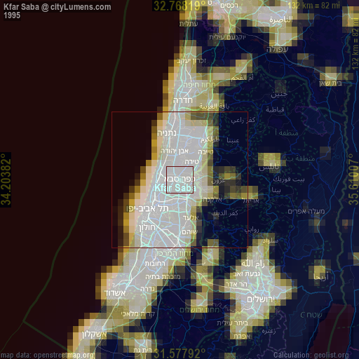
» NASA, Earths city lights 1995
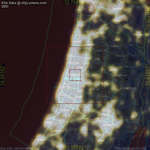
» NASA city lights 2003
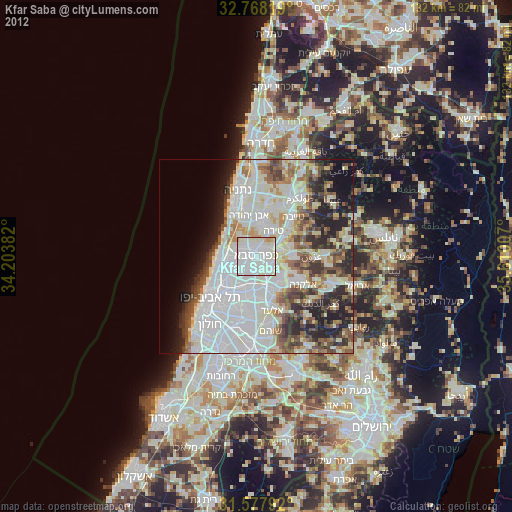
» Earth at Night: Flat Maps 2012, 2016