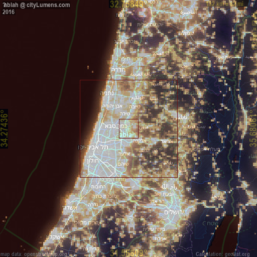
Ḩablah night lights from space
Night Light of Ḩablah (West Bank) from space (Palestinian Territory) Src. Average luminocity for 10x10km area is 87.6923% and for 50x50km: 64.9588%.
Analysis of Ḩablah night lights 2016
Square area 10x10 km:
 20.28%
90-99
29.02%80-89
29.02%70-79
12.59%60-69
5.24%50-59
3.85%40-49
0%30-39
0%20-29
0%10-19
0%0-9
0%Square area 50x50 km:
17.12%90-99
15.36%80-89
11.81%70-79
8.34%60-69
5.79%50-59
7.62%40-49
8.8%30-39
7.54%20-29
7.65%10-19
2.66%0-9
7.31%Clear (daylight) street map image can be seen on geolist.org.
Map coordinates:
32° 45' 30.6" North, 34° 16' 27.7" East
32° 9' 54.8" North, 34° 58' 38.9" East
31° 34' 5.1" North, 35° 40' 50.2" East
Some cities around Ḩablah sort by population:
• Kfar Saba, IL
6.7 km =4.2 mi,  279°
279°
• Qalqīlyah
2.8 km =1.7 mi,  346°
346°
• Hod HaSharon, IL
8 km =5 mi,  265°
265°
• Rosh Ha‘Ayin, IL
8 km =5 mi,  194°
194°
• Kafr Qāsim, IL
5.7 km =3.5 mi,  181°
181°
• ‘Azzūn
7.6 km =4.7 mi,  81°
81°
• Jaljūlya, IL
2.5 km =1.6 mi,  242°
242°
• Oranit
3.9 km =2.4 mi,  161°
161°
283843 (p: 5,945)
Sources (retrieved 2019-11-25):
» Earth at Night: Flat Maps 2012, 2016