Hod HaSharon night lights from space
Night Light of Hod HaSharon (Central District) from space (Israel) Src. Average luminocity for 10x10km area is 96.9336% and for 50x50km: 57.6725%.
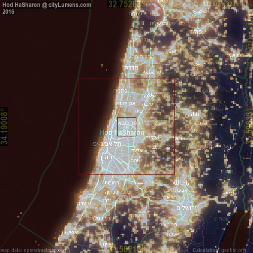
Analysis of Hod HaSharon night lights 2016
Square area 10x10 km:
 40.73%
90-99
48.78%80-89
10.31%70-79
0.17%60-69
0%50-59
0%40-49
0%30-39
0%20-29
0%10-19
0%0-9
0%Square area 50x50 km:
16.83%90-99
14.79%80-89
10.5%70-79
6.66%60-69
4.7%50-59
6.21%40-49
5.91%30-39
4.94%20-29
5.09%10-19
3.28%0-9
21.09%Clear (daylight) street map image can be seen on geolist.org.
Map coordinates:
32° 45' 9.5" North, 34° 11' 24.3" East
32° 9' 33.6" North, 34° 53' 35.5" East
31° 33' 43.8" North, 35° 35' 46.8" East
Some cities around Hod HaSharon sort by population:
• Petaẖ Tiqwa
8.1 km =5 mi,  183°
183°
• Herzliya
6.4 km =4 mi,  276°
276°
• Kfar Saba
2.2 km =1.4 mi,  36°
36°
• Ra'anana
3.3 km =2.1 mi,  325°
325°
• Qalqīlyah, PS
8 km =5 mi,  65°
65°
• Ramat HaSharon
5.3 km =3.3 mi,  253°
253°
• Jaljūlya
5.7 km =3.5 mi,  95°
95°
• Ḩablah, PS
8 km =5 mi,  85°
85°
294760 (p: 43,185)
Sources (retrieved 2019-11-25):
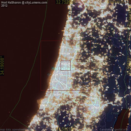
» Earth at Night: Flat Maps 2012, 2016