Tirah night lights from space
Night Light of Tirah (Central District) from space (Israel) Src. Average luminocity for 10x10km area is 92.0037% and for 50x50km: 58.2785%.
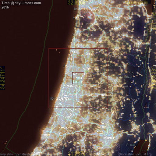
Analysis of Tirah night lights 2016
Square area 10x10 km:
 26.19%
90-99
31.5%80-89
37%70-79
4.76%60-69
0.55%50-59
0%40-49
0%30-39
0%20-29
0%10-19
0%0-9
0%Square area 50x50 km:
14.76%90-99
13.73%80-89
10.94%70-79
7.67%60-69
5.79%50-59
6.13%40-49
7.36%30-39
6.67%20-29
8.05%10-19
3.37%0-9
15.54%Clear (daylight) street map image can be seen on geolist.org.
Map coordinates:
32° 49' 36.8" North, 34° 14' 49.6" East
32° 14' 2.8" North, 34° 57' 0.8" East
31° 38' 14.6" North, 35° 39' 12.1" East
Some cities around Tirah sort by population:
• Kfar Saba
7.7 km =4.8 mi,  211°
211°
• Qalqīlyah, PS
5.3 km =3.3 mi,  158°
158°
• Eṭ Ṭaiyiba
6.6 km =4.1 mi,  57°
57°
• Qalansuwa
6.4 km =4 mi,  27°
27°
• Even Yehuda
7.1 km =4.4 mi,  303°
303°
• Tel Mond
3.6 km =2.2 mi, 299°
• Jaljūlya
8.8 km =5.5 mi,  177°
177°
• Ḩablah, PS
8.1 km =5 mi, 161°
295127 (p: 20,786)
Sources (retrieved 2019-11-25):
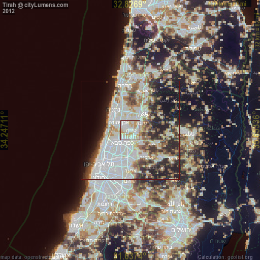
» Earth at Night: Flat Maps 2012, 2016