Tomaszów Mazowiecki night lights from space
Night Light of Tomaszów Mazowiecki (Łódź Voivodeship) from space (Poland) Src. Average luminocity for 10x10km area is 30.5107% and for 50x50km: 4.599%.
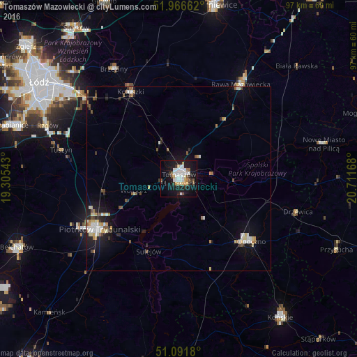
Analysis of Tomaszów Mazowiecki night lights 2016
Square area 10x10 km:
 6.68%
6.68%90-99
7.75%80-89
2.94%70-79
2.41%60-69
1.6%50-59
3.21%40-49
1.2%30-39
3.21%20-29
4.14%10-19
35.56%0-9
31.28%Square area 50x50 km:
0.73%90-99
0.8%80-89
0.54%70-79
0.47%60-69
0.43%50-59
0.59%40-49
0.37%30-39
0.47%20-29
0.88%10-19
3.71%0-9
91.01%Clear (daylight) street map image can be seen on geolist.org.
Map coordinates:
51° 57' 59.8" North, 19° 18' 19.5" East
51° 31' 52.7" North, 20° 0' 30.8" East
51° 5' 30.5" North, 20° 42' 42" East
Some cities around Tomaszów Mazowiecki sort by population:
• Piotrków Trybunalski
25.4 km =15.8 mi,  236°
236°
• Opoczno
25.5 km =15.8 mi,  132°
132°
• Rawa Mazowiecka
31 km =19.3 mi,  33°
33°
• Koluszki
26.5 km =16.5 mi,  330°
330°
• Brzeziny
34.8 km =21.6 mi, 329°
• Tuszyn
34.2 km =21.3 mi,  284°
284°
• Sulejów
21.4 km =13.3 mi,  203°
203°
• Ksawerów
45.1 km =28 mi,  291°
291°
756867 (p: 67,197)
Sources (retrieved 2019-11-25):
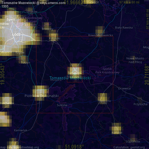
» NASA, Earths city lights 1995
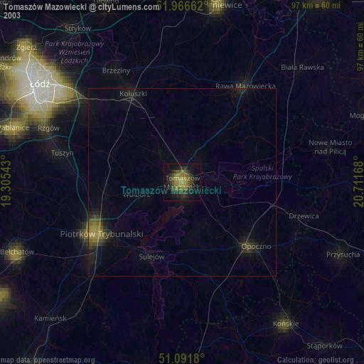
» NASA city lights 2003
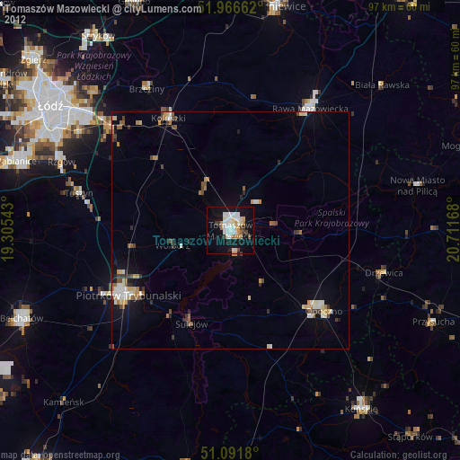
» Earth at Night: Flat Maps 2012, 2016