Ksawerów night lights from space
Night Light of Ksawerów (Łódź Voivodeship) from space (Poland) Src. Average luminocity for 10x10km area is 54.1737% and for 50x50km: 15.8152%.
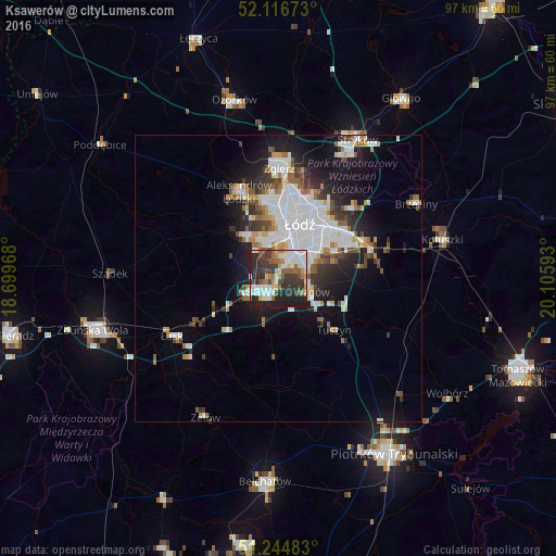
Analysis of Ksawerów night lights 2016
Square area 10x10 km:
 11.06%
90-99
14.01%80-89
4.48%70-79
4.34%60-69
6.16%50-59
7.14%40-49
6.44%30-39
14.43%20-29
21.29%10-19
10.64%0-9
0%Square area 50x50 km:
4.79%90-99
3.21%80-89
1.02%70-79
1.2%60-69
1.53%50-59
1.65%40-49
1.57%30-39
2.2%20-29
3.51%10-19
8.24%0-9
71.08%Clear (daylight) street map image can be seen on geolist.org.
Map coordinates:
52° 7' 0.2" North, 18° 41' 58.8" East
51° 40' 58.4" North, 19° 24' 10.1" East
51° 14' 41.4" North, 20° 6' 21.3" East
Some cities around Ksawerów sort by population:
• Łódź
10.9 km =6.8 mi,  26°
26°
• Pabianice
3.9 km =2.4 mi,  238°
238°
• Zgierz
19.2 km =11.9 mi,  0°
0°
• Aleksandrów Łódzki
16.7 km =10.4 mi,  335°
335°
• Łask
21.3 km =13.2 mi, 241°
• Konstantynów Łódzki
9 km =5.6 mi,  323°
323°
• Brzeziny
27.3 km =17 mi,  61°
61°
• Tuszyn
12 km =7.5 mi,  132°
132°
3094370 (p: 6,269)
Sources (retrieved 2019-11-25):
» Earth at Night: Flat Maps 2012, 2016