Płock night lights from space
Night Light of Płock (Mazovia) from space (Poland) Src. Average luminocity for 10x10km area is 59.0357% and for 50x50km: 4.4752%.
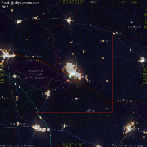
Analysis of Płock night lights 2016
Square area 10x10 km:
 17.59%
90-99
17.72%80-89
6.22%70-79
3.7%60-69
3.57%50-59
4.76%40-49
3.31%30-39
8.99%20-29
20.24%10-19
12.7%0-9
1.19%Square area 50x50 km:
0.92%90-99
0.98%80-89
0.35%70-79
0.36%60-69
0.44%50-59
0.53%40-49
0.37%30-39
0.52%20-29
1.4%10-19
2.92%0-9
91.23%Clear (daylight) street map image can be seen on geolist.org.
Map coordinates:
52° 58' 20.4" North, 19° 0' 11.7" East
52° 32' 48.6" North, 19° 42' 23" East
52° 7' 1.8" North, 20° 24' 34.2" East
Some cities around Płock sort by population:
• Włocławek
44.6 km =27.7 mi,  284°
284°
• Kutno
42.1 km =26.2 mi,  213°
213°
• Sochaczew
50.5 km =31.4 mi,  134°
134°
• Płońsk
46 km =28.6 mi,  79°
79°
• Gostynin
21.1 km =13.1 mi,  231°
231°
• Sierpc
34.6 km =21.5 mi,  355°
355°
• Lipno
48.6 km =30.2 mi,  312°
312°
• Żychlin
34.1 km =21.2 mi,  189°
189°
3088825 (p: 127,474)
Sources (retrieved 2019-11-25):
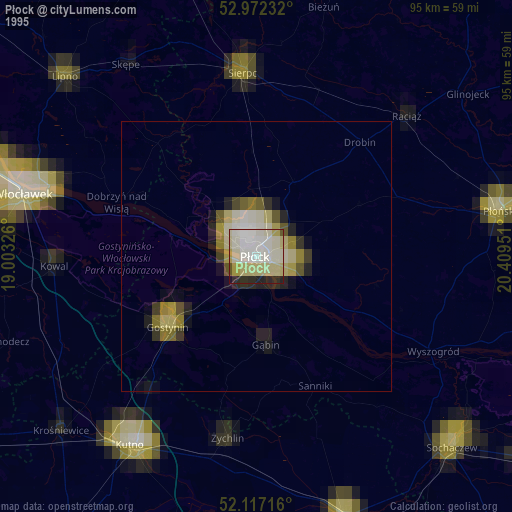
» NASA, Earths city lights 1995
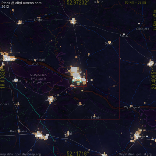
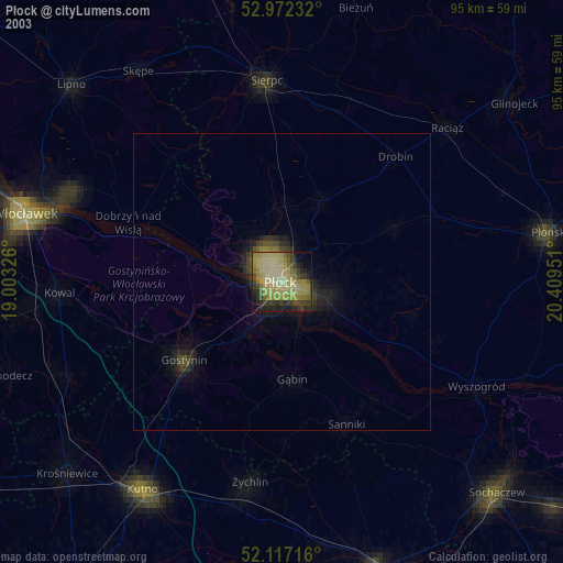
» NASA city lights 2003
» Earth at Night: Flat Maps 2012, 2016