Włocławek night lights from space
Night Light of Włocławek (Kujawsko-Pomorskie) from space (Poland) Src. Average luminocity for 10x10km area is 38.7407% and for 50x50km: 3.7279%.
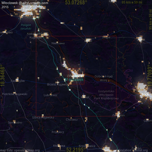
Analysis of Włocławek night lights 2016
Square area 10x10 km:
 9.66%
9.66%90-99
8.33%80-89
3.97%70-79
3.97%60-69
2.65%50-59
3.31%40-49
2.51%30-39
2.25%20-29
10.85%10-19
41.27%0-9
11.24%Square area 50x50 km:
0.63%90-99
0.64%80-89
0.48%70-79
0.31%60-69
0.3%50-59
0.3%40-49
0.31%30-39
0.31%20-29
0.73%10-19
3.55%0-9
92.43%Clear (daylight) street map image can be seen on geolist.org.
Map coordinates:
53° 4' 21.6" North, 18° 21' 52.8" East
52° 38' 53.4" North, 19° 4' 4.1" East
52° 13' 10.2" North, 19° 46' 15.3" East
Some cities around Włocławek sort by population:
• Płock
44.6 km =27.7 mi,  104°
104°
• Gostynin
36.1 km =22.4 mi,  132°
132°
• Lipno
23.1 km =14.4 mi,  18°
18°
• Aleksandrów Kujawski
35.8 km =22.2 mi,  315°
315°
• Ciechocinek
31.6 km =19.6 mi, 324°
• Kłodawa
45 km =28 mi,  193°
193°
• Radziejów
36.5 km =22.7 mi,  265°
265°
• Piotrków Kujawski
39.9 km =24.8 mi,  254°
254°
3081741 (p: 120,339)
Sources (retrieved 2019-11-25):
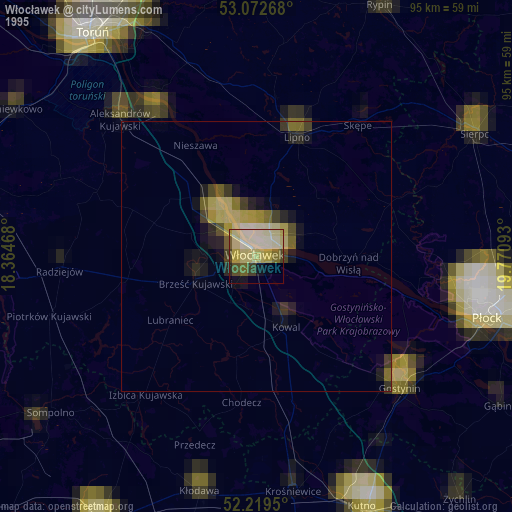
» NASA, Earths city lights 1995
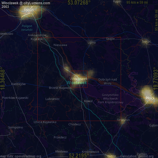
» NASA city lights 2003
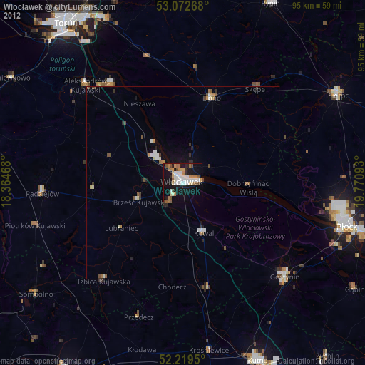
» Earth at Night: Flat Maps 2012, 2016