Sochaczew night lights from space
Night Light of Sochaczew (Mazovia) from space (Poland) Src. Average luminocity for 10x10km area is 26.7593% and for 50x50km: 4.6536%.
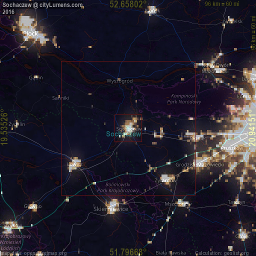
Analysis of Sochaczew night lights 2016
Square area 10x10 km:
 3.7%
3.7%90-99
5.95%80-89
1.32%70-79
1.85%60-69
4.5%50-59
5.82%40-49
2.12%30-39
3.31%20-29
4.1%10-19
28.44%0-9
38.89%Square area 50x50 km:
0.49%90-99
0.8%80-89
0.33%70-79
0.32%60-69
0.63%50-59
0.71%40-49
0.51%30-39
0.59%20-29
0.63%10-19
4.69%0-9
90.3%Clear (daylight) street map image can be seen on geolist.org.
Map coordinates:
52° 39' 28.9" North, 19° 32' 6.9" East
52° 13' 46" North, 20° 14' 18.2" East
51° 47' 48" North, 20° 56' 29.4" East
Some cities around Sochaczew sort by population:
• Skierniewice
31 km =19.3 mi,  190°
190°
• Żyrardów
24.6 km =15.3 mi,  144°
144°
• Łowicz
24.2 km =15 mi,  235°
235°
• Grodzisk Mazowiecki
30.4 km =18.9 mi,  117°
117°
• Milanówek
32 km =19.9 mi,  112°
112°
• Brwinów
34 km =21.1 mi, 106°
• Błonie
26 km =16.2 mi,  97°
97°
• Mszczonów
34.3 km =21.3 mi,  145°
145°
758682 (p: 38,267)
Sources (retrieved 2019-11-25):
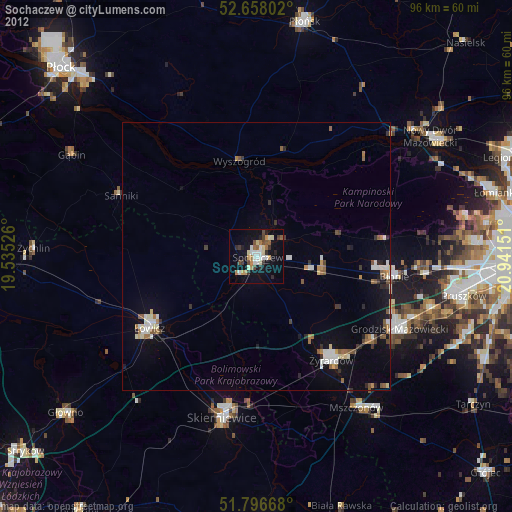
» Earth at Night: Flat Maps 2012, 2016