Kutno night lights from space
Night Light of Kutno (Łódź Voivodeship) from space (Poland) Src. Average luminocity for 10x10km area is 29.2712% and for 50x50km: 2.645%.
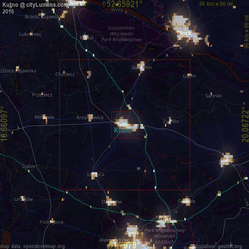
Analysis of Kutno night lights 2016
Square area 10x10 km:
 7.14%
7.14%90-99
6.61%80-89
1.46%70-79
1.98%60-69
2.78%50-59
3.84%40-49
1.59%30-39
0.66%20-29
2.78%10-19
44.58%0-9
26.59%Square area 50x50 km:
0.47%90-99
0.48%80-89
0.2%70-79
0.26%60-69
0.37%50-59
0.37%40-49
0.21%30-39
0.17%20-29
0.16%10-19
2.08%0-9
95.23%Clear (daylight) street map image can be seen on geolist.org.
Map coordinates:
52° 39' 33.2" North, 18° 39' 39.5" East
52° 13' 50.3" North, 19° 21' 50.7" East
51° 47' 52.4" North, 20° 4' 2" East
Some cities around Kutno sort by population:
• Zgierz
41.8 km =26 mi,  176°
176°
• Łowicz
41.9 km =26 mi,  109°
109°
• Ozorków
30.1 km =18.7 mi,  189°
189°
• Gostynin
23.1 km =14.4 mi,  16°
16°
• Łęczyca
22.1 km =13.7 mi,  210°
210°
• Głowno
38.1 km =23.7 mi,  140°
140°
• Żychlin
17.9 km =11.1 mi,  85°
85°
• Kłodawa
30.8 km =19.1 mi,  274°
274°
3094170 (p: 48,323)
Sources (retrieved 2019-11-25):
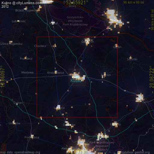
» Earth at Night: Flat Maps 2012, 2016