Płońsk night lights from space
Night Light of Płońsk (Mazovia) from space (Poland) Src. Average luminocity for 10x10km area is 11.1931% and for 50x50km: 1.8603%.
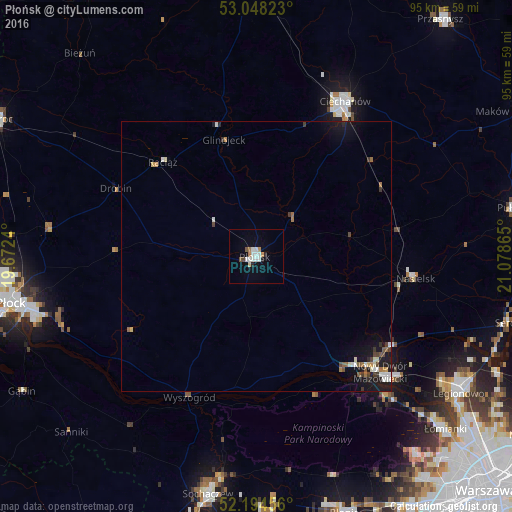
Analysis of Płońsk night lights 2016
Square area 10x10 km:
 2.91%
2.91%90-99
2.38%80-89
0.53%70-79
0.66%60-69
1.46%50-59
0.79%40-49
0.79%30-39
0%20-29
1.32%10-19
1.85%0-9
87.3%Square area 50x50 km:
0.27%90-99
0.37%80-89
0.11%70-79
0.13%60-69
0.27%50-59
0.19%40-49
0.25%30-39
0.26%20-29
0.17%10-19
1.52%0-9
96.45%Clear (daylight) street map image can be seen on geolist.org.
Map coordinates:
53° 2' 53.6" North, 19° 40' 20.6" East
52° 37' 24.5" North, 20° 22' 31.9" East
52° 11' 40.4" North, 21° 4' 43.1" East
Some cities around Płońsk sort by population:
• Płock
46 km =28.6 mi,  259°
259°
• Legionowo
44.7 km =27.8 mi,  123°
123°
• Ciechanów
33.1 km =20.6 mi,  29°
29°
• Sochaczew
44.8 km =27.8 mi,  191°
191°
• Nowy Dwór Mazowiecki
31.5 km =19.6 mi,  132°
132°
• Łomianki
47.2 km =29.3 mi, 132°
• Nasielsk
29.3 km =18.2 mi,  97°
97°
• Jabłonna
45.7 km =28.4 mi, 126°
762021 (p: 22,217)
Sources (retrieved 2019-11-25):
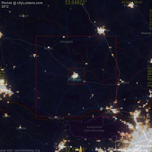
» Earth at Night: Flat Maps 2012, 2016