Ostrołęka night lights from space
Night Light of Ostrołęka (Mazovia) from space (Poland) Src. Average luminocity for 10x10km area is 37.5714% and for 50x50km: 1.8867%.
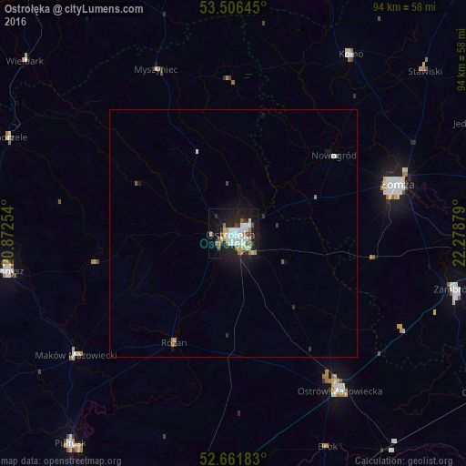
Analysis of Ostrołęka night lights 2016
Square area 10x10 km:
 8.47%
8.47%90-99
9.52%80-89
3.44%70-79
2.25%60-69
4.5%50-59
3.97%40-49
3.04%30-39
2.38%20-29
10.85%10-19
30.56%0-9
21.03%Square area 50x50 km:
0.33%90-99
0.43%80-89
0.13%70-79
0.13%60-69
0.21%50-59
0.19%40-49
0.14%30-39
0.16%20-29
0.5%10-19
1.86%0-9
95.92%Clear (daylight) street map image can be seen on geolist.org.
Map coordinates:
53° 30' 23.2" North, 20° 52' 21.1" East
53° 5' 10.4" North, 21° 34' 32.4" East
52° 39' 42.6" North, 22° 16' 43.6" East
Some cities around Ostrołęka sort by population:
• Łomża
33.8 km =21 mi,  72°
72°
• Wyszków
55.4 km =34.4 mi,  188°
188°
• Zambrów
46 km =28.6 mi,  104°
104°
• Pułtusk
54 km =33.6 mi,  217°
217°
• Przasnysz
47.1 km =29.3 mi,  260°
260°
• Kolno
43.1 km =26.8 mi,  33°
33°
• Maków Mazowiecki
40.2 km =25 mi,  232°
232°
• Małkinia Górna
53.3 km =33.1 mi,  145°
145°
762909 (p: 53,740)
Sources (retrieved 2019-11-25):
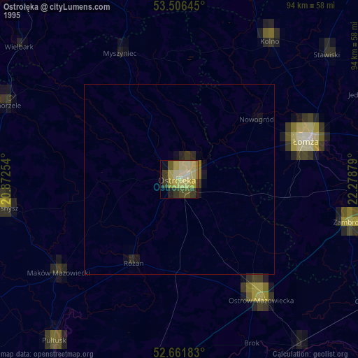
» NASA, Earths city lights 1995
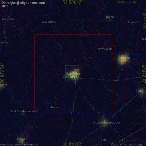
» NASA city lights 2003
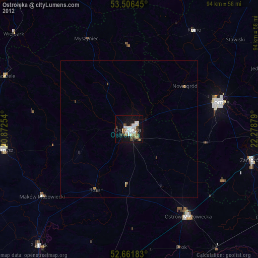
» Earth at Night: Flat Maps 2012, 2016