Zambrów night lights from space
Night Light of Zambrów (Podlasie) from space (Poland) Src. Average luminocity for 10x10km area is 10.6521% and for 50x50km: 2.4753%.

Analysis of Zambrów night lights 2016
Square area 10x10 km:
 3.17%
3.17%90-99
3.17%80-89
0.79%70-79
0%60-69
0%50-59
0.53%40-49
1.06%30-39
0%20-29
0%10-19
1.85%0-9
89.42%Square area 50x50 km:
0.57%90-99
0.54%80-89
0.29%70-79
0.21%60-69
0.25%50-59
0.11%40-49
0.21%30-39
0.03%20-29
0.18%10-19
1.77%0-9
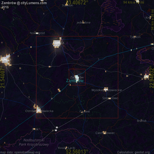
95.84%Clear (daylight) street map image can be seen on geolist.org.
Map coordinates:
53° 24' 24.2" North, 21° 32' 24.3" East
52° 59' 7.8" North, 22° 14' 35.5" East
52° 33' 36.5" North, 22° 56' 46.8" East
Some cities around Zambrów sort by population:
• Łomża
24.7 km =15.3 mi,  330°
330°
• Ostrołęka
46 km =28.6 mi,  284°
284°
• Ostrów Mazowiecka
31 km =19.3 mi,  228°
228°
• Łapy
42.9 km =26.7 mi,  89°
89°
• Kolno
51.8 km =32.2 mi,  336°
336°
• Wysokie Mazowieckie
19.9 km =12.4 mi,  112°
112°
• Choroszcz
52.8 km =32.8 mi,  70°
70°
• Małkinia Górna
35.7 km =22.2 mi,  203°
203°
753895 (p: 22,857)
Sources (retrieved 2019-11-25):
» Earth at Night: Flat Maps 2012, 2016