Wyszków night lights from space
Night Light of Wyszków (Mazovia) from space (Poland) Src. Average luminocity for 10x10km area is 15.0238% and for 50x50km: 2.2887%.
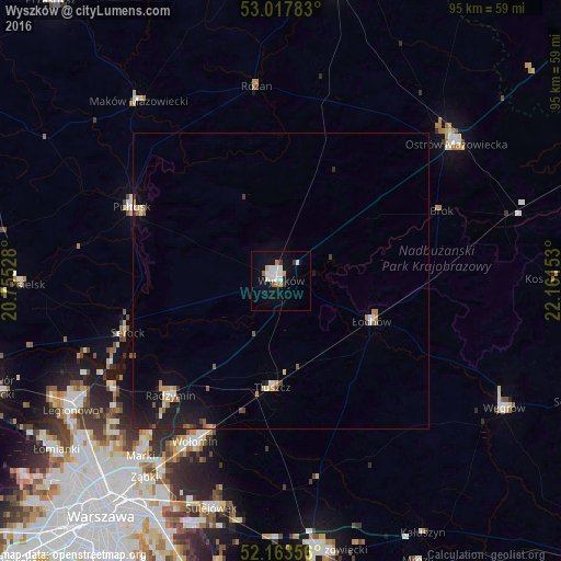
Analysis of Wyszków night lights 2016
Square area 10x10 km:
 3.57%
3.57%90-99
3.97%80-89
0.66%70-79
1.19%60-69
1.72%50-59
0.53%40-49
0%30-39
1.59%20-29
0.13%10-19
11.38%0-9
75.26%Square area 50x50 km:
0.26%90-99
0.35%80-89
0.15%70-79
0.31%60-69
0.32%50-59
0.22%40-49
0.15%30-39
0.23%20-29
0.39%10-19
2.21%0-9
95.41%Clear (daylight) street map image can be seen on geolist.org.
Map coordinates:
53° 1' 4.2" North, 20° 45' 19" East
52° 35' 34" North, 21° 27' 30.2" East
52° 9' 48.8" North, 22° 9' 41.5" East
Some cities around Wyszków sort by population:
• Wołomin
31.7 km =19.7 mi,  207°
207°
• Ostrów Mazowiecka
37.5 km =23.3 mi,  51°
51°
• Pułtusk
28.1 km =17.5 mi,  295°
295°
• Kobyłka
33.3 km =20.7 mi, 212°
• Zielonka
38 km =23.6 mi, 212°
• Radzymin
27 km =16.8 mi,  223°
223°
• Tłuszcz
18.1 km =11.2 mi,  184°
184°
• Łochów
16.6 km =10.3 mi,  114°
114°
754454 (p: 26,628)
Sources (retrieved 2019-11-25):
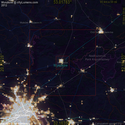
» Earth at Night: Flat Maps 2012, 2016