Małkinia Górna night lights from space
Night Light of Małkinia Górna (Mazovia) from space (Poland) Src. Average luminocity for 10x10km area is 2.5873% and for 50x50km: 1.1008%.
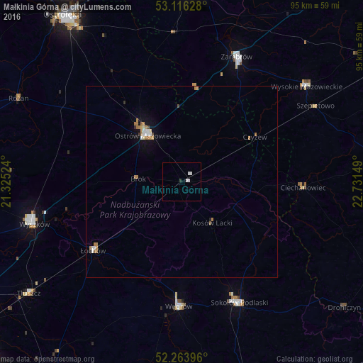
Analysis of Małkinia Górna night lights 2016
Square area 10x10 km:
 0.79%
0.79%90-99
1.32%80-89
0%70-79
0%60-69
0%50-59
0%40-49
0%30-39
0.4%20-29
0.13%10-19
0%0-9
97.35%Square area 50x50 km:
0.16%90-99
0.16%80-89
0.09%70-79
0.16%60-69
0.35%50-59
0.05%40-49
0.07%30-39
0.06%20-29
0.06%10-19
0.46%0-9
98.36%Clear (daylight) street map image can be seen on geolist.org.
Map coordinates:
53° 6' 58.6" North, 21° 19' 30.9" East
52° 41' 31.9" North, 22° 1' 42.1" East
52° 15' 50.3" North, 22° 43' 53.4" East
Some cities around Małkinia Górna sort by population:
• Wyszków
40 km =24.9 mi,  253°
253°
• Zambrów
35.7 km =22.2 mi,  23°
23°
• Ostrów Mazowiecka
15.2 km =9.4 mi,  323°
323°
• Sokołów Podlaski
35.2 km =21.9 mi,  154°
154°
• Węgrów
32.6 km =20.3 mi,  181°
181°
• Wysokie Mazowieckie
41.3 km =25.7 mi,  52°
52°
• Tłuszcz
49.5 km =30.8 mi,  234°
234°
• Łochów
29.5 km =18.3 mi, 232°
765328 (p: 5,199)
Sources (retrieved 2019-11-25):
» Earth at Night: Flat Maps 2012, 2016