Przasnysz night lights from space
Night Light of Przasnysz (Mazovia) from space (Poland) Src. Average luminocity for 10x10km area is 11.1455% and for 50x50km: 1.7901%.
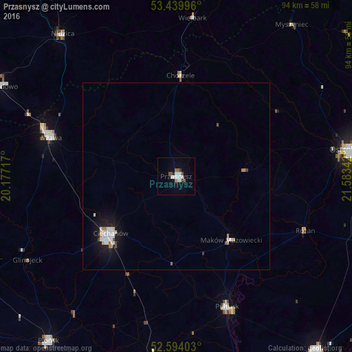
Analysis of Przasnysz night lights 2016
Square area 10x10 km:
 3.04%
3.04%90-99
2.38%80-89
0.4%70-79
0.4%60-69
0.53%50-59
2.25%40-49
0.53%30-39
1.06%20-29
0.13%10-19
1.06%0-9
88.23%Square area 50x50 km:
0.43%90-99
0.37%80-89
0.15%70-79
0.09%60-69
0.18%50-59
0.14%40-49
0.11%30-39
0.07%20-29
0.08%10-19
1.5%0-9
96.88%Clear (daylight) street map image can be seen on geolist.org.
Map coordinates:
53° 26' 23.9" North, 20° 10' 37.8" East
53° 1' 8.7" North, 20° 52' 49" East
52° 35' 38.5" North, 21° 35' 0.3" East
Some cities around Przasnysz sort by population:
• Ostrołęka
47.1 km =29.3 mi,  80°
80°
• Ciechanów
23.2 km =14.4 mi,  228°
228°
• Mława
34.8 km =21.6 mi,  287°
287°
• Działdowo
53.4 km =33.2 mi,  297°
297°
• Pułtusk
37.7 km =23.4 mi,  158°
158°
• Nidzica
48.5 km =30.1 mi,  321°
321°
• Maków Mazowiecki
22.6 km =14 mi,  139°
139°
• Nasielsk
48.1 km =29.9 mi,  185°
185°
761218 (p: 16,718)
Sources (retrieved 2019-11-25):
» Earth at Night: Flat Maps 2012, 2016