Łowicz night lights from space
Night Light of Łowicz (Łódź Voivodeship) from space (Poland) Src. Average luminocity for 10x10km area is 19.5728% and for 50x50km: 4.2771%.
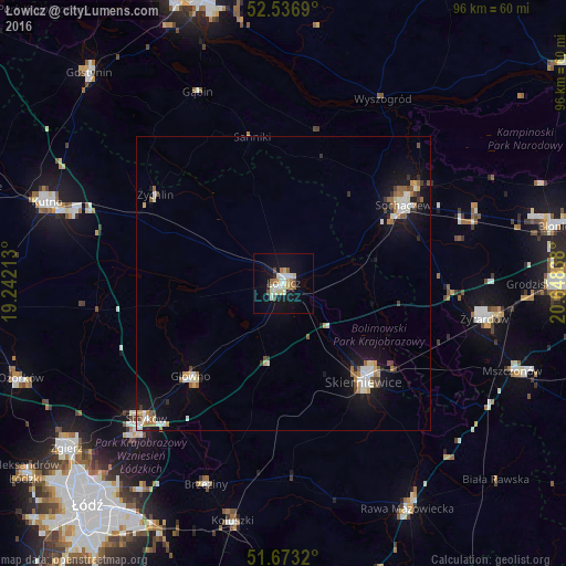
Analysis of Łowicz night lights 2016
Square area 10x10 km:
 2.91%
2.91%90-99
4.23%80-89
3.44%70-79
1.06%60-69
3.31%50-59
0.93%40-49
2.12%30-39
0%20-29
1.06%10-19
19.44%0-9
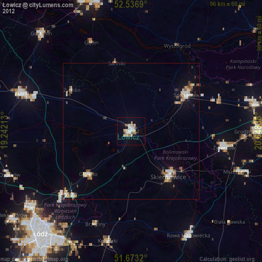
61.51%Square area 50x50 km:
0.63%90-99
0.83%80-89
0.37%70-79
0.39%60-69
0.63%50-59
0.49%40-49
0.43%30-39
0.29%20-29
0.43%10-19
3.77%0-9
91.73%Clear (daylight) street map image can be seen on geolist.org.
Map coordinates:
52° 32' 12.8" North, 19° 14' 31.7" East
52° 6' 25.7" North, 19° 56' 42.9" East
51° 40' 23.5" North, 20° 38' 54.2" East
Some cities around Łowicz sort by population:
• Skierniewice
22.3 km =13.9 mi,  139°
139°
• Kutno
41.9 km =26 mi,  289°
289°
• Żyrardów
34.8 km =21.6 mi,  100°
100°
• Sochaczew
24.2 km =15 mi,  55°
55°
• Głowno
22.3 km =13.9 mi,  224°
224°
• Koluszki
41.9 km =26 mi,  191°
191°
• Brzeziny
36.6 km =22.7 mi,  201°
201°
• Żychlin
26.6 km =16.5 mi,  304°
304°
3093066 (p: 29,809)
Sources (retrieved 2019-11-25):
» Earth at Night: Flat Maps 2012, 2016