Żyrardów night lights from space
Night Light of Żyrardów (Mazovia) from space (Poland) Src. Average luminocity for 10x10km area is 19.3788% and for 50x50km: 11.3502%.
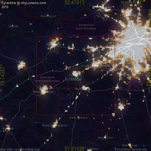
Analysis of Żyrardów night lights 2016
Square area 10x10 km:
 3.41%
3.41%90-99
4.04%80-89
1.64%70-79
1.52%60-69
1.01%50-59
2.15%40-49
1.52%30-39
2.27%20-29
1.77%10-19
23.11%0-9
57.58%Square area 50x50 km:
1.63%90-99
2.23%80-89
0.8%70-79
0.94%60-69
1.45%50-59
1.8%40-49
1.5%30-39
1.64%20-29
3.35%10-19
8.02%0-9
76.64%Clear (daylight) street map image can be seen on geolist.org.
Map coordinates:
52° 28' 44.9" North, 19° 44' 34.3" East
52° 2' 55.7" North, 20° 26' 45.6" East
51° 36' 51.4" North, 21° 8' 56.8" East
Some cities around Żyrardów sort by population:
• Skierniewice
22.3 km =13.9 mi,  242°
242°
• Sochaczew
24.6 km =15.3 mi,  324°
324°
• Grodzisk Mazowiecki
14.2 km =8.8 mi,  64°
64°
• Milanówek
17.3 km =10.7 mi, 63°
• Brwinów
21.3 km =13.2 mi, 60°
• Błonie
20.3 km =12.6 mi,  35°
35°
• Nadarzyn
25.2 km =15.7 mi,  78°
78°
• Mszczonów
9.8 km =6.1 mi,  148°
148°
752967 (p: 41,179)
Sources (retrieved 2019-11-25):
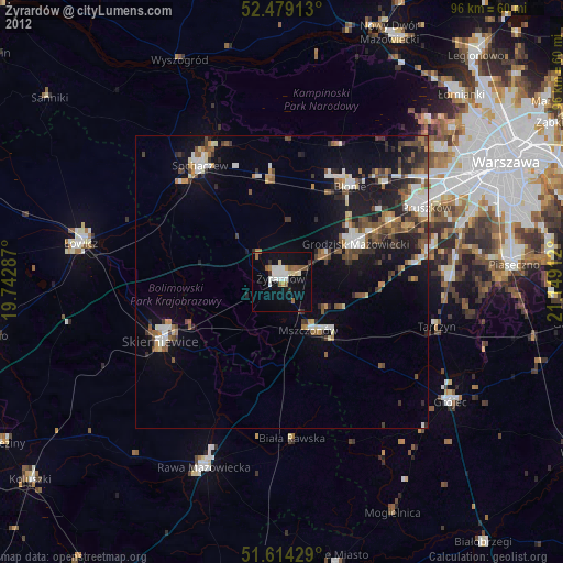
» Earth at Night: Flat Maps 2012, 2016