Parachinar night lights from space
Night Light of Parachinar (FATA) from space (Pakistan) Src. Average luminocity for 10x10km area is 1.7448% and for 50x50km: 0.0711%.
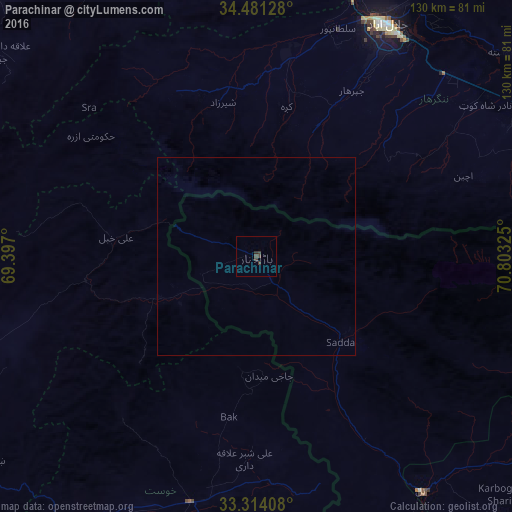
Analysis of Parachinar night lights 2016
Square area 10x10 km:
 0%
0%90-99
0%80-89
0%70-79
0%60-69
0%50-59
0%40-49
1.22%30-39
2.27%20-29
0.7%10-19
0%0-9
95.8%Square area 50x50 km:
0%90-99
0%80-89
0%70-79
0%60-69
0%50-59
0%40-49
0.05%30-39
0.09%20-29
0.03%10-19
0%0-9
99.83%Clear (daylight) street map image can be seen on geolist.org.
Map coordinates:
34° 28' 52.6" North, 69° 23' 49.2" East
33° 53' 58.8" North, 70° 6' 0.4" East
33° 18' 50.7" North, 70° 48' 11.7" East
Some cities around Parachinar sort by population:
• Jalālābād, AF
66.9 km =41.6 mi,  28°
28°
• Gardez, AF
87.5 km =54.4 mi,  247°
247°
• Khōst, AF
64.5 km =40.1 mi,  194°
194°
• Mehtar Lām, AF
86.4 km =53.7 mi,  6°
6°
• Markaz-e Woluswalī-ye Āchīn, AF
61.4 km =38.2 mi,  65°
65°
• Ḩukūmatī Azrah, AF
51.8 km =32.2 mi,  306°
306°
• Doaba
79.1 km =49.2 mi,  131°
131°
• Bāsawul, AF
80.9 km =50.3 mi,  61°
61°
1168394 (p: 0)
Sources (retrieved 2019-11-25):
» Earth at Night: Flat Maps 2012, 2016