Markaz-e Woluswalī-ye Āchīn night lights from space
Night Light of Markaz-e Woluswalī-ye Āchīn (Nangarhar) from space (Afghanistan) Src. Average luminocity for 10x10km area is 0% and for 50x50km: 0.0249%.
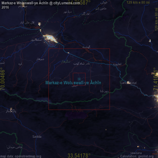
Analysis of Markaz-e Woluswalī-ye Āchīn night lights 2016
Square area 10x10 km:
 0%
0%90-99
0%80-89
0%70-79
0%60-69
0%50-59
0%40-49
0%30-39
0%20-29
0%10-19
0%0-9
100%Square area 50x50 km:
0%90-99
0%80-89
0%70-79
0%60-69
0%50-59
0.03%40-49
0%30-39
0%20-29
0.03%10-19
0%0-9
99.94%Clear (daylight) street map image can be seen on geolist.org.
Map coordinates:
34° 42' 21.1" North, 70° 0' 16.8" East
34° 7' 33" North, 70° 42' 28" East
33° 32' 30.4" North, 71° 24' 39.3" East
Some cities around Markaz-e Woluswalī-ye Āchīn sort by population:
• Peshawar, PK
81.3 km =50.5 mi,  99°
99°
• Jalālābād
40.9 km =25.4 mi,  324°
324°
• Shabqadar, PK
78.6 km =48.8 mi,  82°
82°
• Hangu, PK
73.6 km =45.7 mi,  153°
153°
• Mehtar Lām
76 km =47.2 mi, 322°
• Doaba, PK
78 km =48.5 mi,  178°
178°
• Bāsawul
20.3 km =12.6 mi,  48°
48°
• Parachinar, PK
61.4 km =38.2 mi,  245°
245°
1469706 (p: 15,098)
Sources (retrieved 2019-11-25):
» Earth at Night: Flat Maps 2012, 2016